2020s Maps of T14 R14 WELS, Maine
Explore 8 historic maps of T14 R14 WELS from the 2020s. These maps offer a rare glimpse into what life looked like during the 2020s — showing old roads, neighborhoods, homes, and landmarks that have changed or disappeared over time.
Whether you're researching your family's past, planning a metal detecting trip, or studying how T14 R14 WELS's landscape evolved across the 2020s, these high-resolution maps are a powerful tool for exploring the history of this region.
- Focus on a specific era: All maps on this page are from the 2020s, giving you a focused view of this time period.
- See what’s changed: Compare century-old streets, trails, and buildings to today's modern landscape using overlays and satellite layers.
- Research with precision: Use these maps for genealogy, historical research, land use analysis, or educational projects.
- View, download, or print: Maps are fully viewable online in high resolution, and can be downloaded or printed for your own records.
Start exploring T14 R14 WELS's history through authentic maps from the 2020s. This is your window into the past.
T14 R14 WELS, ME maps
(8)- 2021 Map of Blue Brook, 2021 Print
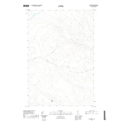 2021 Blue Brook2021 Print · USGSCovers T14 R14 WELS, including T14 R13 WELS, T13 R14 WELS, and other nearby areas
 - 2021 Map of Big Black Rapids, 2021 Print
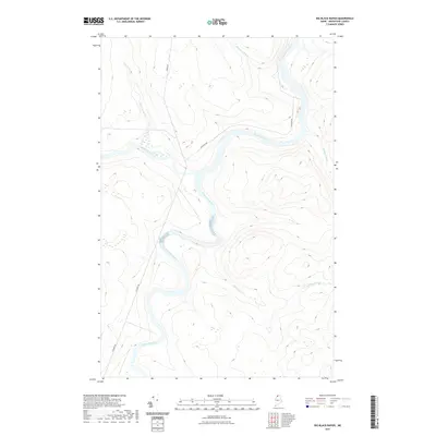 2021 Big Black Rapids2021 Print · USGSCovers T14 R14 WELS, including T15 R13 WELS, T14 R13 WELS, and other nearby areas
 - 2021 Map of Seven Islands, 2021 Print
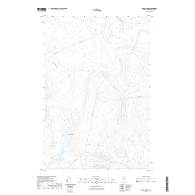 2021 Seven Islands2021 Print · USGSCovers T14 R14 WELS, including T13 R14 WELS, T12 R14 WELS, and other nearby areas
 - 2021 Map of Ninemile Deadwater, 2021 Print
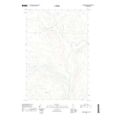 2021 Ninemile Deadwater2021 Print · USGSCovers T14 R14 WELS, including T15 R14 WELS, T15 R15 WELS, and other nearby areas
 - 2024 Map of Big Black Rapids, 2024 Print
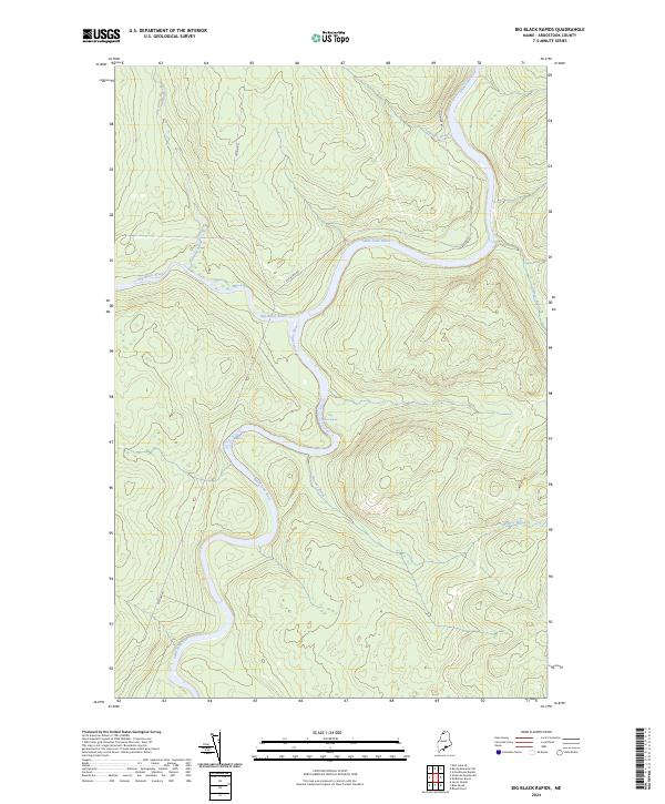 2024 Big Black Rapids2024 Print · USGSNorthern Maine's timberlands and river junctions are documented in this recent survey of the Aroostook wilderness. Modern researchers can trace the winding Saint John River and locate historic river features like Basford Rips and Big Black Rapids.
 - 2024 Map of Seven Islands, 2024 Print
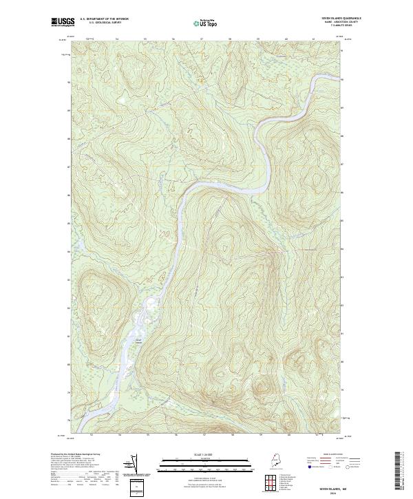 2024 Seven Islands2024 Print · USGSThe northern Maine wilderness of the twenty-first century is defined here by the braided waters of the Saint John River. Researchers can trace the logging and transport corridors of Escourt Rd or locate the distinctive landforms at Seven Islands and Priestly Rapids.
 - 2024 Map of Blue Brook, 2024 Print
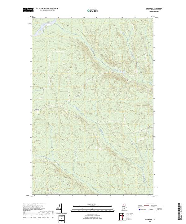 2024 Blue Brook2024 Print · USGSAroostook County's remote northern woodlands are documented here in the early twenty-first century. Researchers can trace the path of the Saint John River and identify the location of Priestly Rapids or the remote Blue Pond.
 - 2024 Map of Ninemile Deadwater, 2024 Print
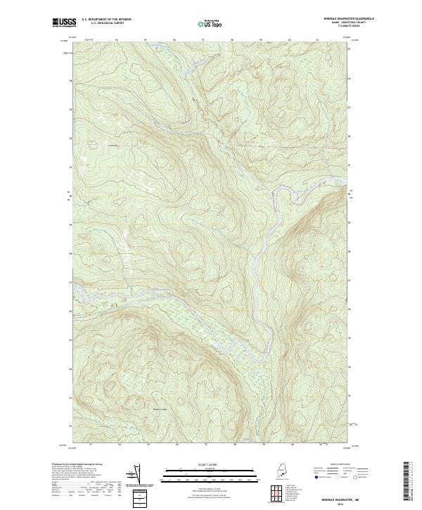 2024 Ninemile Deadwater2024 Print · USGSThe northern Maine woods of Aroostook County are captured here in the 2020s, showing a landscape shaped by the winding Big Black River. Researchers can trace the drainage of the Fivemile Brook and locate topographic landmarks like Western Ledge.
End of results
Showing maps 1-8 of 8
Frequently asked questions
- What are the different types of historical maps available for T14 R14 WELS?
- What is the oldest map of T14 R14 WELS?
- Where can I purchase historical maps of T14 R14 WELS for my home or office?
- Where can I download high-res historical maps of T14 R14 WELS?
- Are there historical topographic maps available for T14 R14 WELS?
- Is there historical aerial imagery available for T14 R14 WELS?
- Where are historical maps of T14 R14 WELS sourced from?