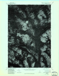
1976 Map of Ninemile Deadwater
USGS Topo · Published 1983About this map
The Big Black River meanders through the dense, timbered landscape of northern Maine in this orthophoto quadrangle. Unlike a traditional topographic map, this imagery-based study provides a literal aerial view of the forest canopy and water courses as they appeared in 1976. The confluence where Ninemile Brook meets the main channel is clearly visible, feeding into the slow-moving stretch of the Ninemile Deadwater. This specific visual record is an essential tool for those studying the hydrology and logging history of the Aroostook region, showing the intricate network of water and seasonal roads that define this remote reach of the Maine woods before more modern forest management practices changed the landscape.
Find a feature on this map
3 named features on this map. Tap any name to fly to it.
Don’t see what you’re looking for? This feature index may not catch every label — zoom into the map to look around manually.
Map Details
Editions of this 1976 Ninemile Deadwater Map
This is the sole edition of this map. No revisions or reprints were ever made.
Other maps of this area

1954 · Presque Isle
USGS Topo · 1:250,000

1955 · Rocky Mountain
USGS Topo · 1:62,500

1955 · Little East Lake
USGS Topo · 1:62,500

1955 · Round Pond
USGS Topo · 1:62,500

1955 · Seven Islands
USGS Topo · 1:62,500

1958 · Presque Isle
USGS Topo · 1:250,000

1960 · Presque Isle
USGS Topo · 1:250,000

1962 · Edmundston
USGS Topo · 1:250,000

1976 · Seven Islands
USGS Topo · 1:24,000

1976 · East Lake SE
USGS Topo · 1:24,000