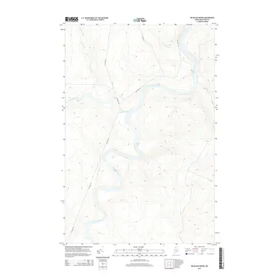
2014 Map of Big Black Rapids
USGS Topo · Published 2014About this map
The Saint John River defines this remote stretch of the Maine borderland, where the water forms a significant natural boundary and transit corridor. The confluence of the Big Black River with the main stem is marked by the Big Black Rapids, a distinctive feature of the local river system that has historically influenced navigation and timber transport. Further south along the winding Saint John, the Basford Rips represent another break in the river's flow, illustrating the hydrological character of the North Woods.
Find a feature on this map
9 named features on this map. Tap any name to fly to it.
Don’t see what you’re looking for? This feature index may not catch every label — zoom into the map to look around manually.
Map Details
Editions of this 2014 Big Black Rapids Map
This is the sole edition of this map. No revisions or reprints were ever made.
Other maps of this area

1954 · Presque Isle
USGS Topo · 1:250,000

1955 · Rocky Mountain
USGS Topo · 1:62,500

1955 · Little East Lake
USGS Topo · 1:62,500

1955 · Round Pond
USGS Topo · 1:62,500

1955 · Seven Islands
USGS Topo · 1:62,500

1958 · Presque Isle
USGS Topo · 1:250,000

1960 · Presque Isle
USGS Topo · 1:250,000

1962 · Edmundston
USGS Topo · 1:250,000

1976 · Seven Islands
USGS Topo · 1:24,000

1976 · East Lake SE
USGS Topo · 1:24,000