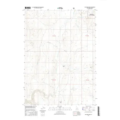
2017 Map of Big Creek Ranch
USGS Topo · Published 2017About this map
Shoshone Basin serves as the central focal point of this high-altitude landscape in the southern reaches of Idaho near the Nevada border. The area is defined by a complex drainage network that includes Shoshone Cr, Cottonwood Cr, and Hannahs Fork, which carve through the terrain of the Sawtooth National Forest. The presence of Big Creek Ranch in the eastern portion of the map indicates the long-standing ranching tradition of Twin Falls County, where water sources like Bull Spring and John Spring were vital for both livestock and early travelers. The transportation network is anchored by Basin Rd and the Basin Cut-Off Rd, which follow the natural contours of the land, providing access to the higher elevations and the numerous draws, including West Basin Draw, that dominate the topography.
Find a feature on this map
19 named features on this map. Tap any name to fly to it.
Don’t see what you’re looking for? This feature index may not catch every label — zoom into the map to look around manually.
Map Details
Editions of this 2017 Big Creek Ranch Map
This is the sole edition of this map. No revisions or reprints were ever made.
Other maps of this area

1955 · Twin Falls
USGS Topo · 1:250,000

1955 · Wells
USGS Topo · 1:250,000

1957 · Delaplain
USGS Topo · 1:62,500

1958 · Wells
USGS Topo · 1:250,000

1958 · Twin Falls
USGS Topo · 1:250,000

1961 · Wells
USGS Topo · 1:250,000

1961 · Gollaher Mountain
USGS Topo · 1:62,500

1977 · Timber Butte
USGS Topo · 1:24,000

1977 · Big Creek Ranch
USGS Topo · 1:24,000

1977 · Rogerson
USGS Topo · 1:24,000