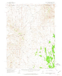
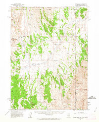
1961 Map of Gollaher Mountain
USGS Topo · Published 1963About this map
Gollaher Mountain rises above a high desert landscape defined by a network of seasonal drainages and numerous vital water sources near the Nevada-Idaho border. This early 1960s survey illustrates a region where life and movement followed the available water, marking dozens of named points like Indian Mike Spring, Moonshine Spring, and Mustang Spring. The rugged eastern portion is dominated by the Dead Line Ridge and the edge of the Sawtooth National Forest, providing a clear look at the borderlands of Elko County.
Find a feature on this map
58 named features on this map. Tap any name to fly to it.
Don’t see what you’re looking for? This feature index may not catch every label — zoom into the map to look around manually.
Map Details
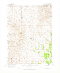
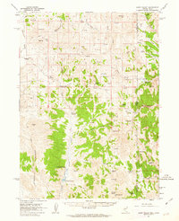
Editions of this 1961 Gollaher Mountain Map
2 editions found
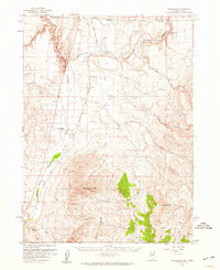
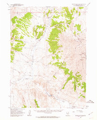
Other maps of this area

1955 · Twin Falls
USGS Topo · 1:250,000

1955 · Wells
USGS Topo · 1:250,000
1957 · Delaplain
USGS Topo · 1:62,500

1958 · Wells
USGS Topo · 1:250,000

1958 · Twin Falls
USGS Topo · 1:250,000

1961 · Wells
USGS Topo · 1:250,000
1961 · Delano Mountains
USGS Topo · 1:62,500
1961 · Goose Creek
USGS Topo · 1:62,500
1961 · Dairy Valley
USGS Topo · 1:62,500
1968 · Texas Spring
USGS Topo · 1:24,000