
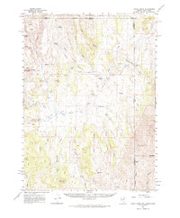
1961 Map of Goose Creek
USGS Topo · Published 1963About this map
Sawtooth National Forest dominates the northern landscape of this tri-state corner where Nevada, Utah, and Idaho meet. The 1961 survey provides a clear view of the ranching and migration history of the High Desert, most notably preserving the route of the Old Emigrant Trail as it cuts across the center of the sheet. This historic path passes through the Gamble Draw and Meadow Creek drainages, following the natural corridors used by early travelers.
Find a feature on this map
47 named features on this map. Tap any name to fly to it.
Don’t see what you’re looking for? This feature index may not catch every label — zoom into the map to look around manually.
Map Details
Editions of this 1961 Goose Creek Map
3 editions found
Other maps of this area

1954 · Pocatello
USGS Topo · 1:250,000

1954 · Brigham City
USGS Topo · 1:250,000

1955 · Twin Falls
USGS Topo · 1:250,000

1955 · Wells
USGS Topo · 1:250,000

1958 · Wells
USGS Topo · 1:250,000

1958 · Twin Falls
USGS Topo · 1:250,000

1958 · Pocatello
USGS Topo · 1:250,000

1958 · Brigham City
USGS Topo · 1:250,000

1959 · Cotton Thomas Basin
USGS Topo · 1:62,500

1961 · Wells
USGS Topo · 1:250,000