1968 Map of Texas Spring
USGS Topo · Published 1972About this map
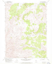
Knoll Mountain dominates the western landscape of this Elko County quadrangle, where the high-altitude terrain is defined by a network of seasonal drainages and vital water sources. During the late 1960s, the area's resource potential was marked by several Prospect sites and the Bell Mine located near the head of Bell Canyon. The distribution of Spring labels throughout the high desert, including Texas Spring and Opal Spring, indicates a reliance on these specific points for livestock and mining operations in an otherwise arid environment. A sparse network of Trail and Jeep Trail routes provides the only access through Texas Canyon and Corral Canyon, illustrating the isolation of this corner of Nevada. The presence of Trout Creek in the north suggests one of the few persistent watercourses in a region otherwise shaped by rugged relief and remote mining claims.
Find a feature on this map
16 named features on this map. Tap any name to fly to it.
Don’t see what you’re looking for? This feature index may not catch every label — zoom into the map to look around manually.
Map Details
Editions of this 1968 Texas Spring Map
This is the sole edition of this map. No revisions or reprints were ever made.
Other maps of this area

1955 · Wells
USGS Topo · 1:250,000
1957 · Delaplain
USGS Topo · 1:62,500

1958 · Wells
USGS Topo · 1:250,000

1961 · Wells
USGS Topo · 1:250,000
1961 · Delano Mountains
USGS Topo · 1:62,500
1961 · Gollaher Mountain
USGS Topo · 1:62,500
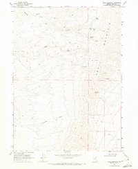
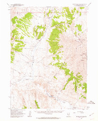
1968 · Knoll Mountain
USGS Topo · 1:24,000
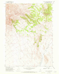
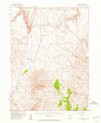
1968 · Knoll Mountain SE
USGS Topo · 1:24,000
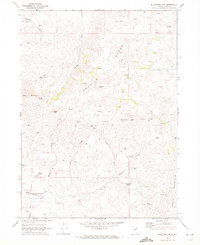
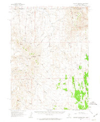
1968 · Blanchard Mtn
USGS Topo · 1:24,000
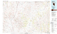
1982 · Jackpot
USGS Topo · 1:100,000