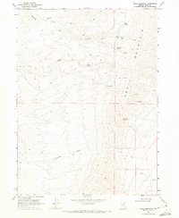
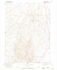
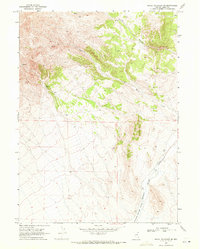
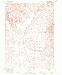
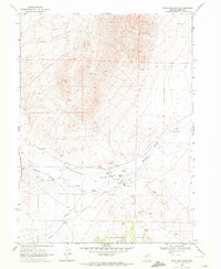
1968 Map of Knoll Mountain
USGS Topo · Published 1971About this map
Knoll Mountain dominates this portion of Elko County, rising above a landscape defined by seasonal water sources and early mineral exploration. The rugged topography is etched with numerous drainages, most notably Bloody Gulch, which features the Bloody Gulch Dam in its upper reaches. Resource extraction is evident through the presence of the Silkworm Mine and a lone Prospect located near Tiser Spring.
Find a feature on this map
17 named features on this map. Tap any name to fly to it.
Don’t see what you’re looking for? This feature index may not catch every label — zoom into the map to look around manually.
Map Details
Editions of this 1968 Knoll Mountain Map
This is the sole edition of this map. No revisions or reprints were ever made.
Other maps of this area

1955 · Wells
USGS Topo · 1:250,000

1958 · Wells
USGS Topo · 1:250,000

1961 · Wells
USGS Topo · 1:250,000
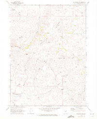
1968 · Wilkins
USGS Topo · 1:24,000
1968 · Knoll Mountain SE
USGS Topo · 1:24,000
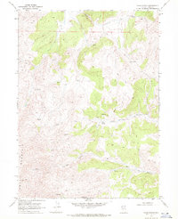
1968 · Henry
USGS Topo · 1:24,000
1968 · Wine Cup Ranch
USGS Topo · 1:24,000
1968 · Blanchard Mtn
USGS Topo · 1:24,000
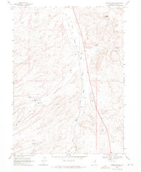
1968 · Texas Spring
USGS Topo · 1:24,000
1968 · Harris Canyon
USGS Topo · 1:24,000