
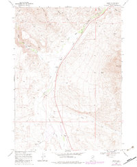
1968 Map of Henry
USGS Topo · Published 1972About this map
Salmon Falls Creek and the Union Pacific railroad line define the high desert topography of this Elko County corridor during the late 1960s. The landscape is characterized by its agricultural and mining utility, anchored by isolated outposts like Henry, Vineyard Ranch, and Hubbard Ranch. The presence of a Tunnel and Headgate Dam along the creek indicates early water management and engineering efforts designed to support ranching in an arid environment.
Find a feature on this map
25 named features on this map. Tap any name to fly to it.
Don’t see what you’re looking for? This feature index may not catch every label — zoom into the map to look around manually.
Map Details
Editions of this 1968 Henry Map
2 editions found
Other maps of this area

1955 · Wells
USGS Topo · 1:250,000

1957 · Contact
USGS Topo · 1:62,500

1957 · Delaplain
USGS Topo · 1:62,500

1958 · Wells
USGS Topo · 1:250,000

1961 · Wells
USGS Topo · 1:250,000

1968 · Knoll Mountain
USGS Topo · 1:24,000

1968 · Hubbard Basin
USGS Topo · 1:24,000

1968 · Blanchard Mtn
USGS Topo · 1:24,000
1968 · Harris Canyon
USGS Topo · 1:24,000
1968 · Boies Reservoir
USGS Topo · 1:24,000