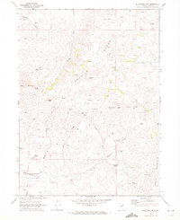
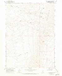
1968 Map of Blanchard Mtn
USGS Topo · Published 1972About this map
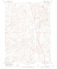
Mining claims and high-altitude research define this 1960s Elko County landscape, where the Granite Range rises toward Granite Peak. A dense concentration of mineral prospects and named diggings—including the Babel Mine, Arizona Mine, and Blanchard Mine—stretches across the central slopes, signaling the region's enduring connection to extraction. In the lower elevations along Knoll Creek, the Knoll Creek Experimental Station represents the institutional presence of the University of Nevada, marking a transition from industrial exploitation to agricultural or ecological study. The terrain is navigated via a network of primitive routes, labeled as Jeep Trails and Trails, connecting isolated water sources like China Mountain Spring and Noh Springs. This pattern of scattered springs and specialized mining camps suggests a seasonal and industrial geography typical of the Great Basin's interior ranges during the mid-20th century.
Find a feature on this map
37 named features on this map. Tap any name to fly to it.
Don’t see what you’re looking for? This feature index may not catch every label — zoom into the map to look around manually.
Map Details
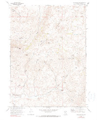
Editions of this 1968 Blanchard Mtn Map
2 editions found
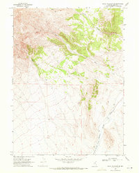
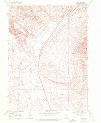
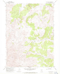
Other maps of this area

1955 · Wells
USGS Topo · 1:250,000
1957 · Contact
USGS Topo · 1:62,500
1957 · Delaplain
USGS Topo · 1:62,500

1958 · Wells
USGS Topo · 1:250,000

1961 · Wells
USGS Topo · 1:250,000
1968 · Knoll Mountain
USGS Topo · 1:24,000
1968 · Knoll Mountain SE
USGS Topo · 1:24,000
1968 · Henry
USGS Topo · 1:24,000
1968 · Texas Spring
USGS Topo · 1:24,000
1968 · Harris Canyon
USGS Topo · 1:24,000