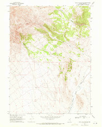
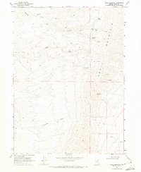
1968 Map of Knoll Mountain SE
USGS Topo · Published 1971About this map
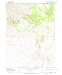
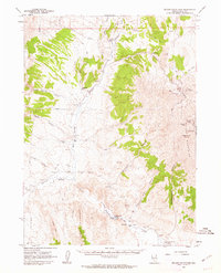
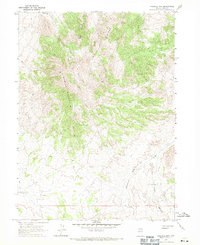
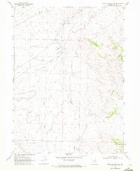
Knoll Mountain dominates the western half of this 1968 study, its complex drainages and ridges defining the rugged interior of Elko, Nevada. The landscape is marked by a network of seasonal water sources and intermittent flows, including the high-altitude Springs that feed into the various canyons. On the eastern side, the terrain transitions into the broader Thousand Springs Valley, where Thousand Springs Creek meanders through the flatter basin floor.
Find a feature on this map
38 named features on this map. Tap any name to fly to it.
Don’t see what you’re looking for? This feature index may not catch every label — zoom into the map to look around manually.
Map Details
Editions of this 1968 Knoll Mountain SE Map
2 editions found
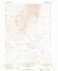
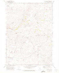
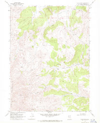
Other maps of this area

1955 · Wells
USGS Topo · 1:250,000

1958 · Wells
USGS Topo · 1:250,000

1961 · Wells
USGS Topo · 1:250,000
1961 · Delano Mountains
USGS Topo · 1:62,500
1967 · Ninemile Mtn
USGS Topo · 1:24,000
1968 · Knoll Mountain
USGS Topo · 1:24,000
1968 · Wine Cup Ranch
USGS Topo · 1:24,000
1968 · Blanchard Mtn
USGS Topo · 1:24,000
1968 · Texas Spring
USGS Topo · 1:24,000
1968 · Wine Cup Ranch NE
USGS Topo · 1:24,000