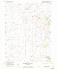
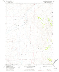
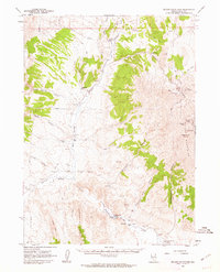
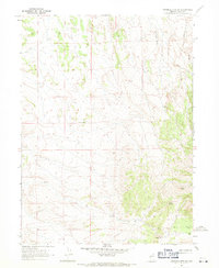
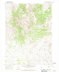
1968 Map of Wine Cup Ranch NE
USGS Topo · Published 1978About this map
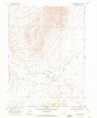
Thousand Springs Valley defines the geography of this high desert region in Elko County, where the perennial flow of Thousand Springs Creek supports isolated outposts like Van Eaton and Fivemile Ranch. The landscape is a network of drainage systems, including Fivemile Draw and Toano Draw, reflecting the importance of water management for cattle ranching in the late 1960s. The map illustrates a sparse but functional infrastructure of its time, featuring a Corral, scattered Springs, and numerous benchmark elevations such as BM 5416. Human impact is visible through industrial features like Borrow Pits and a primitive Jeep Trail that navigates the sagebrush-covered terrain between the valley floor and the rising slopes to the east.
Find a feature on this map
24 named features on this map. Tap any name to fly to it.
Don’t see what you’re looking for? This feature index may not catch every label — zoom into the map to look around manually.
Map Details
Editions of this 1968 Wine Cup Ranch NE Map
2 editions found
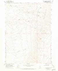
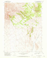
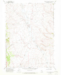
Other maps of this area

1955 · Wells
USGS Topo · 1:250,000

1958 · Wells
USGS Topo · 1:250,000

1961 · Wells
USGS Topo · 1:250,000
1961 · Delano Mountains
USGS Topo · 1:62,500
1967 · Ninemile Mtn SW
USGS Topo · 1:24,000
1967 · Ninemile Mtn
USGS Topo · 1:24,000
1968 · Knoll Mountain
USGS Topo · 1:24,000
1968 · Knoll Mountain SE
USGS Topo · 1:24,000
1968 · Wine Cup Ranch SE
USGS Topo · 1:24,000
1968 · Wine Cup Ranch
USGS Topo · 1:24,000