1968 Map of Wilkins
USGS Topo · Published 1971About this map
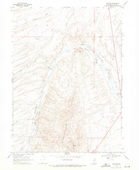
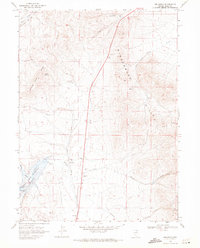
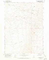
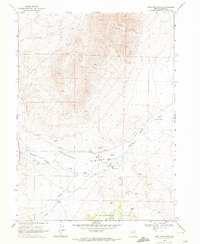
The Union Pacific railroad corridor anchors this high-desert landscape in Elko County, defining the transit route through the Thousand Springs Valley. At this time in the late 1960s, the small settlement of Wilkins and its corresponding Wilkins (Siding) served as primary landmarks for those navigating the valley floor. The terrain is dominated by the sprawling Windermere Hills, which rise between the drainages of Loomis Creek and Willow Creek.
Find a feature on this map
20 named features on this map. Tap any name to fly to it.
Don’t see what you’re looking for? This feature index may not catch every label — zoom into the map to look around manually.
Map Details
Editions of this 1968 Wilkins Map
This is the sole edition of this map. No revisions or reprints were ever made.
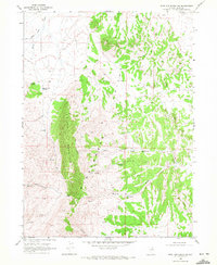
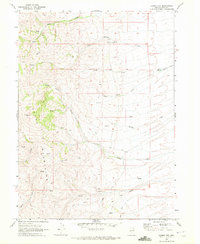
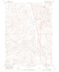
Other maps of this area

1955 · Wells
USGS Topo · 1:250,000

1958 · Wells
USGS Topo · 1:250,000

1961 · Wells
USGS Topo · 1:250,000
1968 · Melandco
USGS Topo · 1:24,000
1968 · Knoll Mountain
USGS Topo · 1:24,000
1968 · Summer Camp
USGS Topo · 1:24,000
1968 · Wine Cup Ranch
USGS Topo · 1:24,000
1968 · Wine Cup Ranch SW
USGS Topo · 1:24,000
1968 · Loomis Mtn
USGS Topo · 1:24,000
1968 · Harris Canyon
USGS Topo · 1:24,000