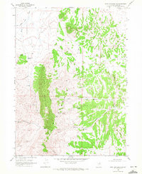
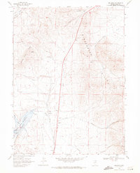
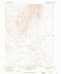
1968 Map of Wine Cup Ranch SW
USGS Topo · Published 1972About this map
Black Mountain and the high ridges of the Windermere Hills dominate this portion of Elko County as it appeared in the late 1960s. The landscape is defined by its complex hydrology and isolated resource extraction points, where narrow drainages like Brush Creek and Willow Creek cut through the arid terrain. Natural water sources are critical markers across this range, including Prather Springs, Thurston Spring, and Sheep Spring, which likely served as vital points for cattle and wildlife in this remote high-desert environment.
Find a feature on this map
21 named features on this map. Tap any name to fly to it.
Don’t see what you’re looking for? This feature index may not catch every label — zoom into the map to look around manually.
Map Details
Editions of this 1968 Wine Cup Ranch SW Map
2 editions found
Other maps of this area

1955 · Wells
USGS Topo · 1:250,000

1958 · Wells
USGS Topo · 1:250,000

1961 · Wells
USGS Topo · 1:250,000
1968 · Wilkins
USGS Topo · 1:24,000
1968 · Holborn
USGS Topo · 1:24,000
1968 · Melandco
USGS Topo · 1:24,000
1968 · Pequop
USGS Topo · 1:24,000
1968 · Wells Peak
USGS Topo · 1:24,000
1968 · Wine Cup Ranch SE
USGS Topo · 1:24,000
1968 · Wine Cup Ranch
USGS Topo · 1:24,000