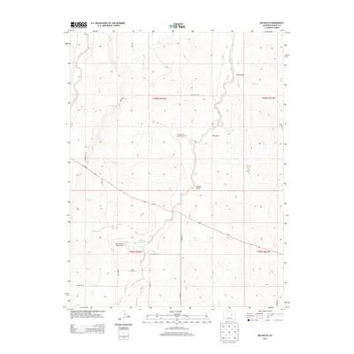
2013 Map of Big Gulch
USGS Topo · Published 2013About this map
West Bijou Creek and its tributary W Bijou Cr carve a path through this section of Elbert County, defining a landscape of intermittent drainage and upland prairies. The map documents the rural infrastructure of the early 21st century, centered around water management and private aviation, as seen at Maguire Reservoir and the Bijou Bottom Strip Airport. Local family history is anchored by the Wiedemeyer Brockman Cem, located near the intersection of several named gulches including Big Gulch and Station Gulch. The road network, consisting of routes like Wedemeyer Rd and Co-86, follows the natural contours of the land, connecting isolated ranching or agricultural properties across the townships of t008s r062w and t009s r062w.
Find a feature on this map
24 named features on this map. Tap any name to fly to it.
Don’t see what you’re looking for? This feature index may not catch every label — zoom into the map to look around manually.
Map Details
Editions of this 2013 Big Gulch Map
This is the sole edition of this map. No revisions or reprints were ever made.
Other maps of this area

1953 · Denver
USGS Topo · 1:250,000

1957 · Denver
USGS Topo · 1:250,000

1958 · Denver
USGS Topo · 1:250,000

1960 · Denver
USGS Topo · 1:250,000
1970 · Kiowa NE
USGS Topo · 1:24,000

1970 · Big Gulch
USGS Topo · 1:24,000
1970 · Fondis
USGS Topo · 1:24,000
1970 · Kiowa NW
USGS Topo · 1:24,000
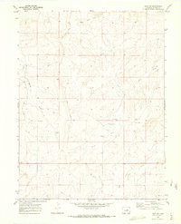
1970 · Bijou SW
USGS Topo · 1:24,000
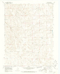
1970 · Bijou
USGS Topo · 1:24,000