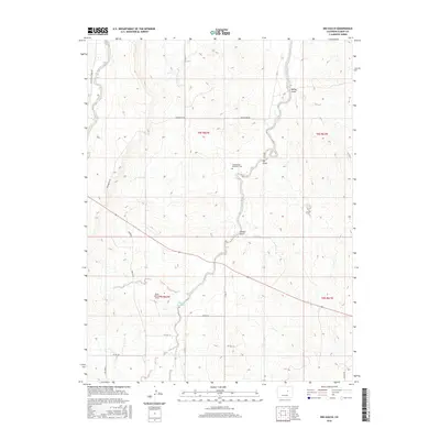
2016 Map of Big Gulch
USGS Topo · Published 2016About this map
West Bijou Creek and its many seasonal tributaries dominate this portion of the Elbert County high plains, where the landscape is defined by the erosion of the Big Gulch and Station Gulch. The terrain is marked by the unique Bijou Bottom Strip, a distinctive geological or land-use feature following the waterway. This area remains largely rural and ranch-focused, with a grid of local roads like Wedemeyer Rd and Freese Rd providing access to isolated properties and water resources such as Maguire Reservoir.
Find a feature on this map
26 named features on this map. Tap any name to fly to it.
Don’t see what you’re looking for? This feature index may not catch every label — zoom into the map to look around manually.
Map Details
Editions of this 2016 Big Gulch Map
This is the sole edition of this map. No revisions or reprints were ever made.
Other maps of this area

1953 · Denver
USGS Topo · 1:250,000

1957 · Denver
USGS Topo · 1:250,000

1958 · Denver
USGS Topo · 1:250,000

1960 · Denver
USGS Topo · 1:250,000
1970 · Kiowa NE
USGS Topo · 1:24,000

1970 · Big Gulch
USGS Topo · 1:24,000
1970 · Fondis
USGS Topo · 1:24,000
1970 · Kiowa NW
USGS Topo · 1:24,000
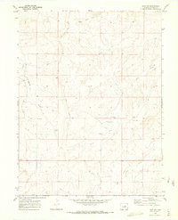
1970 · Bijou SW
USGS Topo · 1:24,000
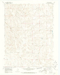
1970 · Bijou
USGS Topo · 1:24,000