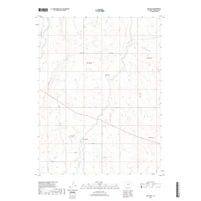
2019 Map of Big Gulch
USGS Topo · Published 2019About this map
Wiedemeyer-Brockman Cem serves as a small but vital genealogical landmark in this section of Elbert County, situated near the headwaters of Station Gulch. The landscape is defined by the ephemeral drainage patterns typical of the Colorado plains, where West Bijou Creek and its various tributaries like Spring Br carve distinct paths through the high prairie. The map reveals a rural network of county roads, such as Co RD 77 and Wedemeyer RD, that connect family ranchlands and agricultural holdings. Of particular interest is the Bijou Bottom Strip and the Maguire Reservoir, which indicate localized efforts to manage water resources in an environment shaped by seasonal flows. This 21st-century survey documents the persistent grid of the Public Land Survey System, illustrating how historical township boundaries like t8s r62w continue to organize the modern rural landscape.
Find a feature on this map
25 named features on this map. Tap any name to fly to it.
Don’t see what you’re looking for? This feature index may not catch every label — zoom into the map to look around manually.
Map Details
Editions of this 2019 Big Gulch Map
This is the sole edition of this map. No revisions or reprints were ever made.
Other maps of this area

1953 · Denver
USGS Topo · 1:250,000

1957 · Denver
USGS Topo · 1:250,000

1958 · Denver
USGS Topo · 1:250,000

1960 · Denver
USGS Topo · 1:250,000
1970 · Kiowa NE
USGS Topo · 1:24,000

1970 · Big Gulch
USGS Topo · 1:24,000
1970 · Fondis
USGS Topo · 1:24,000
1970 · Kiowa NW
USGS Topo · 1:24,000
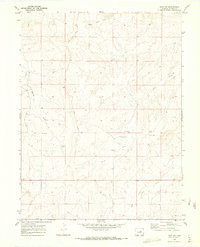
1970 · Bijou SW
USGS Topo · 1:24,000
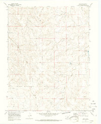
1970 · Bijou
USGS Topo · 1:24,000