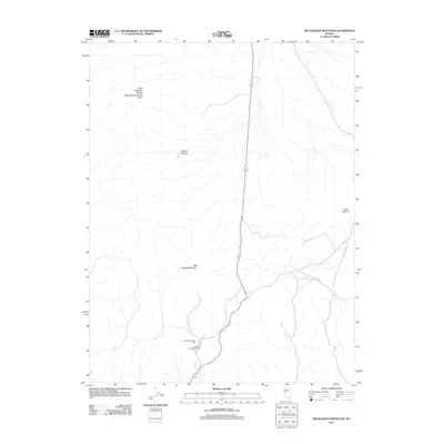
2011 Map of Big Kasock Mountain
USGS Topo · Published 2011About this map
Big Kasock Mountain rises as the central geographic anchor in this section of Churchill County, defining a landscape marked by industrial activity and desert terrain. The area's mid-century mining heritage is centered around the Nevada Scheelite Mill and the nearby Nevada Scheelite Camp, providing a clear look at the infrastructure that supported tungsten extraction in this part of Nevada. Along the northwestern edge, the Sand Springs Range and its Sand Springs Range Cairn trace the high ground, while Contact Canyon cuts through the western slopes. The map also captures the expansive eastern reach of Little Bell Flat, illustrating the transition from steep mountain peaks to the level basin floor typical of the Great Basin geography.
Find a feature on this map
7 named features on this map. Tap any name to fly to it.
Don’t see what you’re looking for? This feature index may not catch every label — zoom into the map to look around manually.
Map Details
Editions of this 2011 Big Kasock Mountain Map
This is the sole edition of this map. No revisions or reprints were ever made.
Other maps of this area

1908 · Carson Sink
USGS Topo · 1:250,000

1909 · Hawthorne
USGS Topo · 1:250,000

1910 · Carson Sink
USGS Topo · 1:250,000

1911 · Hawthorne
USGS Topo · 1:250,000

1915 · Hawthorne
USGS Topo · 1:250,000

1948 · Walker Lake
USGS Topo · 1:250,000

1957 · Walker Lake
USGS Topo · 1:250,000

1957 · Reno
USGS Topo · 1:250,000

1959 · Reno
USGS Topo · 1:250,000

1960 · Reno
USGS Topo · 1:250,000