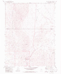
1980 Map of Big Kasock Mtn
USGS Topo · Published 1980About this map
Industrial and geological features define this high-desert landscape on the border of Churchill and Mineral Counties. The Nevada Scheelite Camp serves as a primary human landmark in the southern portion of the sheet, situated near the western slopes of the Sand Springs Range. This settlement, alongside scattered Prospect and Prospects sites, illustrates the region's focus on mineral extraction during the late twentieth century.
Find a feature on this map
17 named features on this map. Tap any name to fly to it.
Don’t see what you’re looking for? This feature index may not catch every label — zoom into the map to look around manually.
Map Details
Editions of this 1980 Big Kasock Mtn Map
This is the sole edition of this map. No revisions or reprints were ever made.
Other maps of this area

1908 · Carson Sink
USGS Topo · 1:250,000

1909 · Hawthorne
USGS Topo · 1:250,000

1910 · Carson Sink
USGS Topo · 1:250,000

1911 · Hawthorne
USGS Topo · 1:250,000

1915 · Hawthorne
USGS Topo · 1:250,000

1948 · Walker Lake
USGS Topo · 1:250,000

1957 · Walker Lake
USGS Topo · 1:250,000

1957 · Reno
USGS Topo · 1:250,000

1959 · Reno
USGS Topo · 1:250,000

1960 · Reno
USGS Topo · 1:250,000