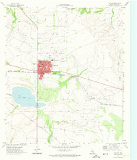
1971 Map of Big Lake
USGS Topo · Published 1974About this map
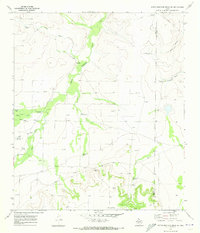
Big Lake serves as the focal point for this West Texas landscape, where the town's grid is dominated by the Price NW Oil Field and John Scott Field. This 1971 survey captures the mid-century infrastructure of the Permian Basin, showing a community built around energy and transportation. The Atchison Topeka and Santa Fe railroad cuts across the terrain, linking the industrial fields to the town center. Local life is evidenced by the Reagan County High Sch, the Glen Rest Cem, and recreational landmarks like the Rodeo Ground and a Drive-in Theater. To the south, a significant geological Depression houses the seasonal waters of the actual Big Lake, into which the Big Lake Draw and Taylor Draw descend. This map documents a period of established oil production, marked by numerous wells and pipelines threading through the draws and across the arid plains toward the Price Oil Field.
Find a feature on this map
25 named features on this map. Tap any name to fly to it.
Don’t see what you’re looking for? This feature index may not catch every label — zoom into the map to look around manually.
Map Details
Editions of this 1971 Big Lake Map
This is the sole edition of this map. No revisions or reprints were ever made.
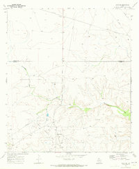
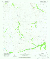
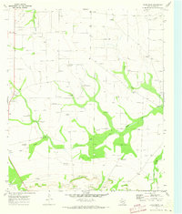
Other maps of this area
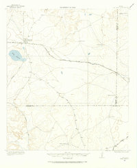
1920 · Big Lake
USGS Topo · 1:62,500
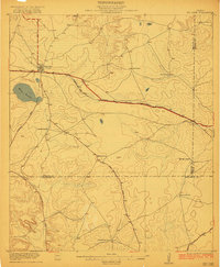
1922 · Big Lake
USGS Topo · 1:62,500
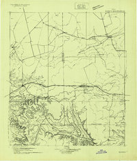
1928 · Rankin
USGS Topo · 1:125,000

1954 · San Angelo
USGS Topo · 1:250,000

1958 · San Angelo
USGS Topo · 1:250,000

1965 · San Angelo
USGS Topo · 1:250,000
1970 · South Mustang Draw SE
USGS Topo · 1:24,000
1970 · Texon SE
USGS Topo · 1:24,000
1970 · Gardener Draw
USGS Topo · 1:24,000
1970 · Divide Draw
USGS Topo · 1:24,000