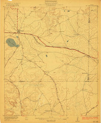
1920 Map of Big Lake
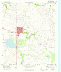
USGS Topo · Published 1965About this map
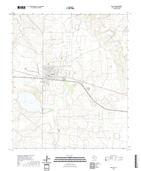
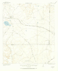
Big Lake serves as the central hub of this West Texas survey, where the Kansas City Mexico and Orient railroad cuts a diagonal path across the arid landscape. The area is defined by a sparse but organized network of large landholdings, many of which are identified by family names such as Branch Ranch, Cox Ranch, and Schneeman Ranch. These ranching outposts represent the primary settlement pattern of Reagan County in the early twentieth century, connected by primitive thoroughfares like Stiles Road and Ozona Road.
Find a feature on this map
18 named features on this map. Tap any name to fly to it.
Don’t see what you’re looking for? This feature index may not catch every label — zoom into the map to look around manually.
Map Details
Editions of this 1920 Big Lake Map
This is the sole edition of this map. No revisions or reprints were ever made.
Historical Maps of Big Lake Through Time
9 maps found