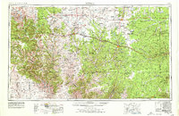
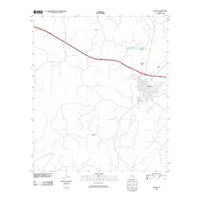
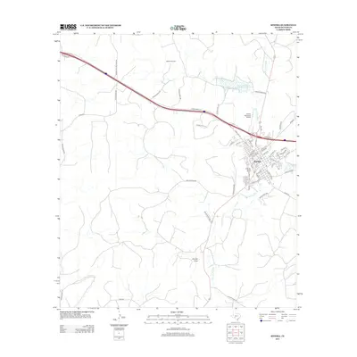
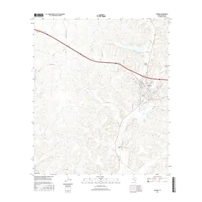
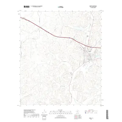
1958 Map of Sonora
USGS Topo · Published 1958About this map
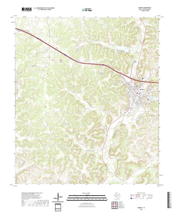
The Pecos River and Devils River carve through the limestone plateau of West Texas in this late 1950s survey. The landscape is defined by an intricate network of drainage systems, including Canyon Draw, Buffalo Draw, and Government Canyon, reflecting a terrain where water management and ranching were central to survival. Historic military outposts like the Fort Lancaster Ruins and Fort McKavett mark the transition from frontier defense to established ranching communities. The arrival of the Panhandle & Santa Fe RR in the northeast corner and the development of regional hubs like Sonora and Ozona illustrate the mid-century growth of the Edwards Plateau. Of particular interest is the Devils Sinkhole Cavern, a significant geologic landmark located near the intersection of the Sutton County and Edwards County lines.
Find a feature on this map
68 named features on this map. Tap any name to fly to it.
Don’t see what you’re looking for? This feature index may not catch every label — zoom into the map to look around manually.
Map Details
Editions of this 1958 Sonora Map
This is the sole edition of this map. No revisions or reprints were ever made.
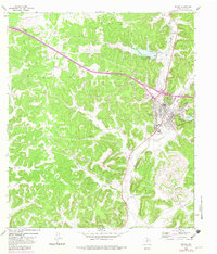
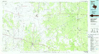
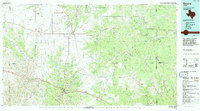
Historical Maps of Ozona Through Time
10 maps found