
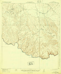
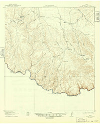
1918 Map of Dryden Crossing
USGS Topo · Published 1918About this map
The Rio Grande marks the international boundary in this 1917 survey, where the rugged terrain of West Texas meets the Mexican state of Coahuila. This landscape is defined by its isolation and its vital water sources, as shown by the naming of Black Water Hole, Blue Water Hole, and Middle Watering. The era's transit relies on primitive tracks like the Shaffer Crossing Road and Cable Crossing Road, which navigate the deep cuts of Sanderson Canyon and Shafter Canyon.
Find a feature on this map
33 named features on this map. Tap any name to fly to it.
Don’t see what you’re looking for? This feature index may not catch every label — zoom into the map to look around manually.
Map Details
Editions of this 1918 Dryden Crossing Map
3 editions found
Other maps of this area

1918 · Indian Wells
USGS Topo · 1:62,500

1928 · Sanderson
USGS Topo · 1:125,000

1943 · Malvado
USGS Topo · 1:62,500

1944 · Malvado
USGS Topo · 1:62,500

1954 · Fort Stockton
USGS Topo · 1:250,000

1954 · Sonora
USGS Topo · 1:250,000

1958 · Sonora
USGS Topo · 1:250,000

1958 · Fort Stockton
USGS Topo · 1:250,000

1958 · Del Rio
USGS Topo · 1:250,000

1959 · Emory Peak
USGS Topo · 1:250,000