Loading...
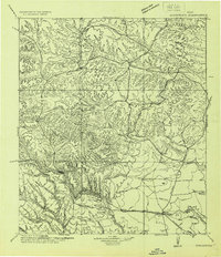
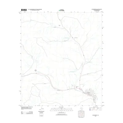
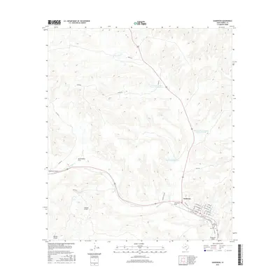
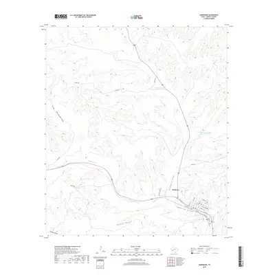
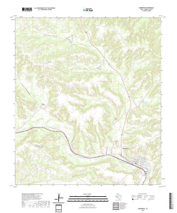
Loading map...1928 Map of Sanderson
USGS Topo · Published 1928About this map
Sanderson and the surrounding Trans-Pecos ranching country are documented here during the late 1920s, a period when the town functioned as a vital maintenance hub for the Southern Pacific railroad. The map reveals a landscape defined by deep draws and remote outposts, where family-named settlements like Prosser & Brown and Monty & Corder emphasize the expansive nature of West Texas landholdings.
Find a feature on this map
54 named features on this map. Tap any name to fly to it.
Don’t see what you’re looking for? This feature index may not catch every label — zoom into the map to look around manually.
Map Details
Date Portrayed1928
Date Published1928
PublisherU.S. Geological Survey
Map TypeTopographic
Scale1:125,000
Physical Dimensions17.9 x 20.8 inches
Editions of this 1928 Sanderson Map
This is the sole edition of this map. No revisions or reprints were ever made.
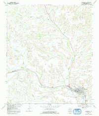
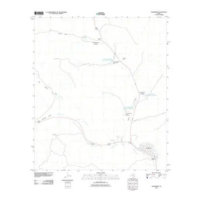
Historical Maps of Sanderson Through Time
8 maps found
Featured Locations
Source Details
SourceU.S. Geological Survey
CopyrightPublic Domain