
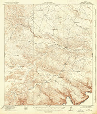
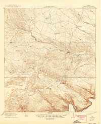
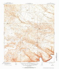
1918 Map of Bullis Gap
USGS Topo · Published 1918About this map
Bullis Trail winds through the high desert of the Big Bend region, serving as a primary corridor for movement through the Bullis Gap Range toward the international border. This 1917 survey, published at the end of the First World War, documents a landscape of isolated outposts and vital water sources essential for survival in this arid environment. Small hubs of activity like Kellogg and Espanol House appear alongside livestock-focused sites such as Valdez Goat Camp, illustrating the early ranching and transit patterns near the Rio Grande.
Find a feature on this map
27 named features on this map. Tap any name to fly to it.
Don’t see what you’re looking for? This feature index may not catch every label — zoom into the map to look around manually.
Map Details
Editions of this 1918 Bullis Gap Map
4 editions found
Other maps of this area

1918 · Reagan Canyon
USGS Topo · 1:62,500

1918 · Dove Mountain
USGS Topo · 1:62,500

1918 · Indian Wells
USGS Topo · 1:62,500

1919 · Maravillas Canyon
USGS Topo · 1:62,500

1920 · Longfellow
USGS Topo · 1:125,000

1928 · Sanderson
USGS Topo · 1:125,000

1954 · Fort Stockton
USGS Topo · 1:250,000

1958 · Fort Stockton
USGS Topo · 1:250,000

1959 · Emory Peak
USGS Topo · 1:250,000

1965 · Emory Peak
USGS Topo · 1:250,000