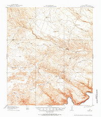
1918 Map of Bullis Gap
USGS Topo · Published 1984About this map
Isolated ranchsteads and remote water sources define this Chihuahuan Desert landscape along the United States-Mexico border during the First World War era. Surveyed in 1917 by T.G. Gerdine and R.H. Reineck, the map captures a trans-Pecos region of Brewster County where survival depended on named tanks and canyon springs. Early cattle and goat operations are documented through holdings like Clark Ranch, Schupbachs Ranch, and the Valdez Goat Camp.
Find a feature on this map
30 named features on this map. Tap any name to fly to it.
Don’t see what you’re looking for? This feature index may not catch every label — zoom into the map to look around manually.
Map Details
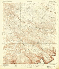
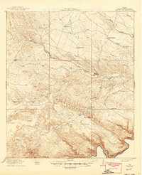
Editions of this 1918 Bullis Gap Map
4 editions found
Other maps of this area

1918 · Reagan Canyon
USGS Topo · 1:62,500

1918 · Dove Mountain
USGS Topo · 1:62,500

1918 · Bullis Gap
USGS Topo · 1:62,500

1918 · Indian Wells
USGS Topo · 1:62,500

1919 · Maravillas Canyon
USGS Topo · 1:62,500

1920 · Longfellow
USGS Topo · 1:125,000

1928 · Sanderson
USGS Topo · 1:125,000

1954 · Fort Stockton
USGS Topo · 1:250,000

1958 · Fort Stockton
USGS Topo · 1:250,000

1959 · Emory Peak
USGS Topo · 1:250,000