
1918 Map of Reagan Canyon
USGS Topo · Published 1918About this map
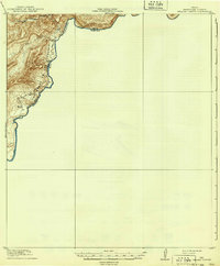
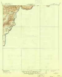
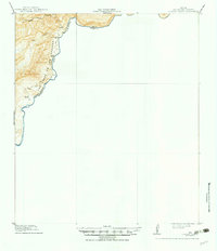
The Rio Grande carves a deep boundary through this remote stretch of Brewster County, where the 1917 survey captures a landscape defined by sharp elevation changes and early borderland industry. A notable industrial presence is the Wax Factory, situated near the riverbanks south of Big Canyon. This site represents the historical harvest of candelilla wax from native desert plants, a significant local trade in the early twentieth century. Moving further south along the river, Horn's Ranch serves as a lone human outpost in an area dominated by intricate topographic features like Las Vegas De Los Ladrones. Transportation through this steep terrain is limited to the Seminole Trail and the Old Trail, indicating the importance of established paths for navigating between the river and the inner canyons of Reagan Canyon.
Find a feature on this map
12 named features on this map. Tap any name to fly to it.
Don’t see what you’re looking for? This feature index may not catch every label — zoom into the map to look around manually.
Map Details
Editions of this 1918 Reagan Canyon Map
4 editions found
Other maps of this area

1918 · Dove Mountain
USGS Topo · 1:62,500

1918 · Bullis Gap
USGS Topo · 1:62,500

1918 · Indian Wells
USGS Topo · 1:62,500

1919 · Maravillas Canyon
USGS Topo · 1:62,500

1930 · Stillwell Creek
USGS Topo · 1:62,500

1959 · Emory Peak
USGS Topo · 1:250,000

1965 · Emory Peak
USGS Topo · 1:250,000
1971 · Stillwell Crossing
USGS Topo · 1:24,000
1983 · Las Vegas De Los Ladrones SW
USGS Topo · 1:24,000
1983 · Bourland Canyon
USGS Topo · 1:24,000