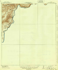
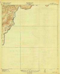
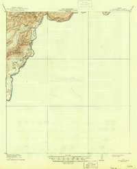
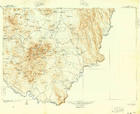
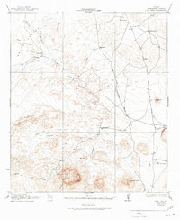
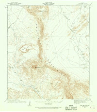
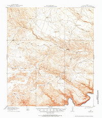
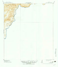
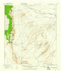
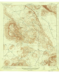
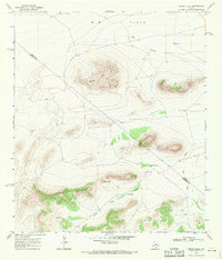
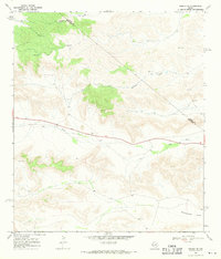
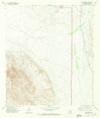
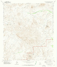
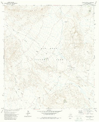
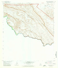
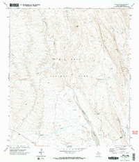
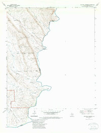
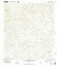
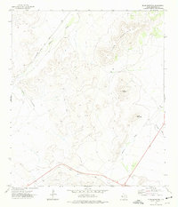
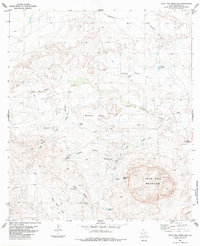
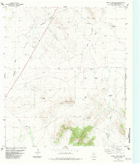
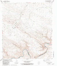
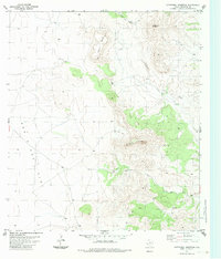
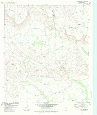
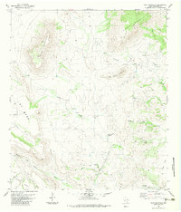
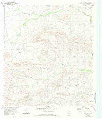
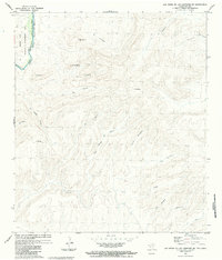
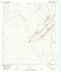
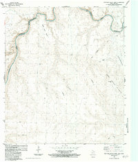
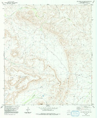
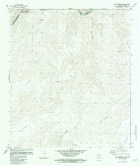
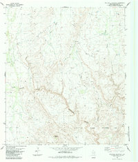
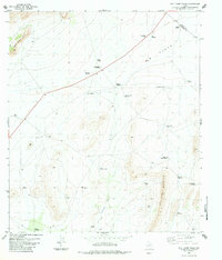
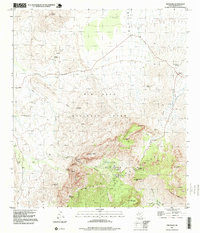
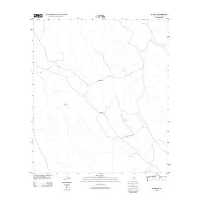
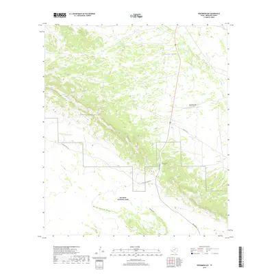
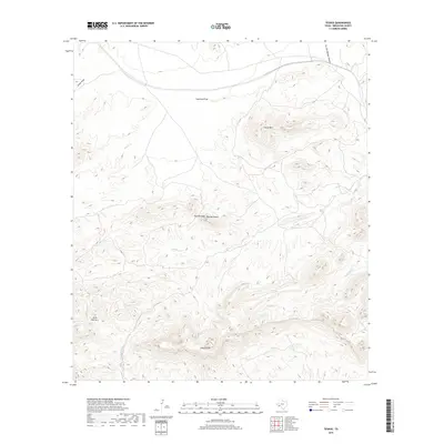
1918 Map of Reagan Canyon
USGS Topo · Published 1939About this map
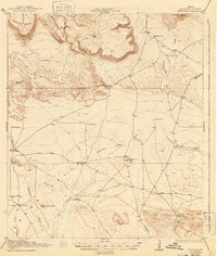
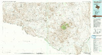
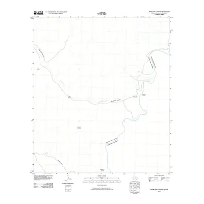
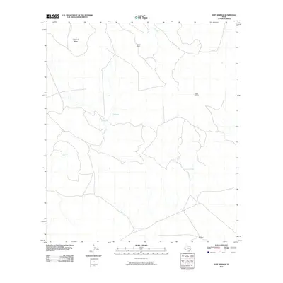
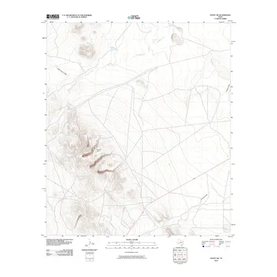
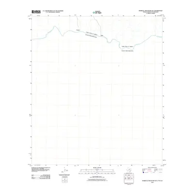
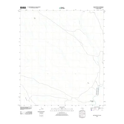
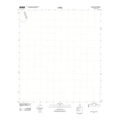
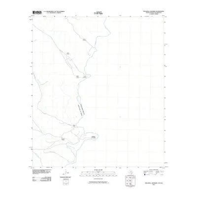
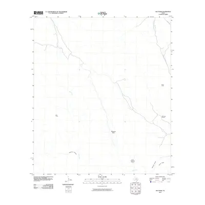
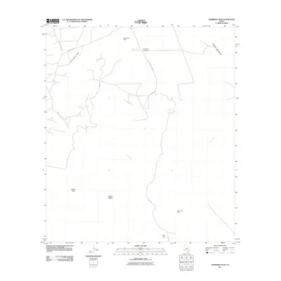
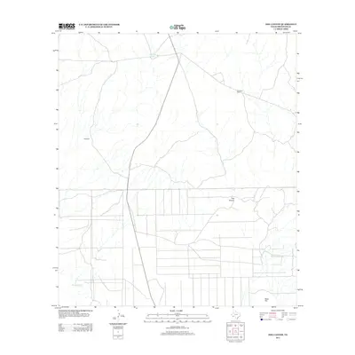
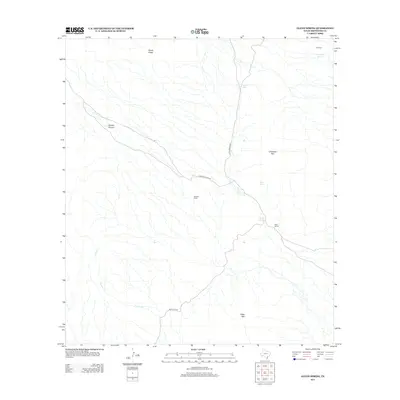
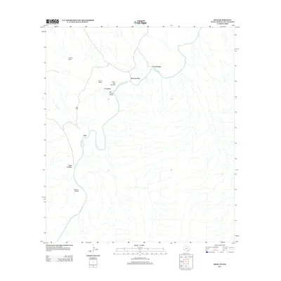
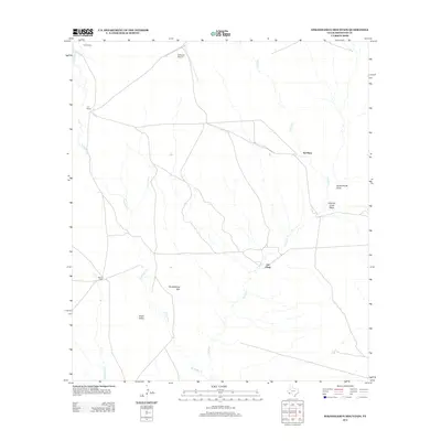
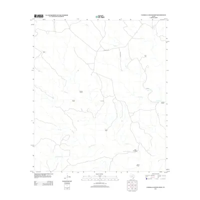
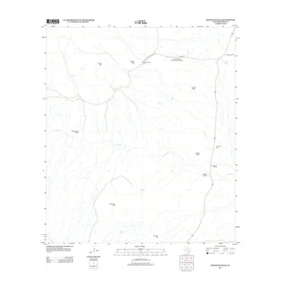
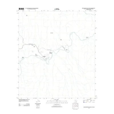
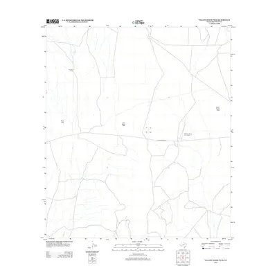
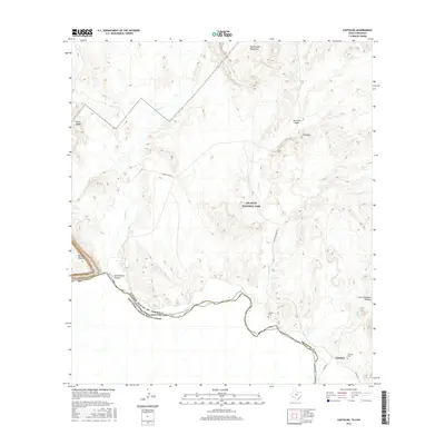
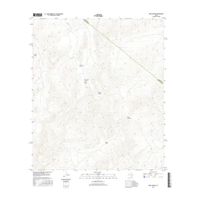
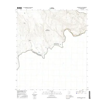
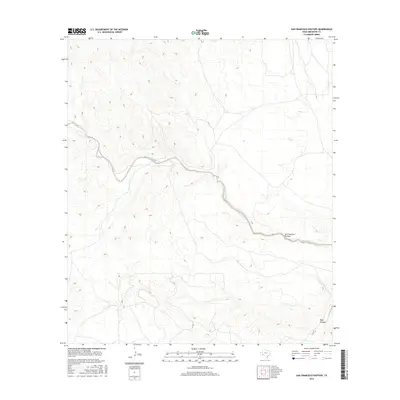
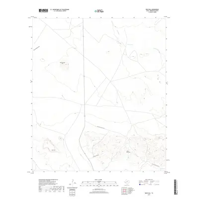
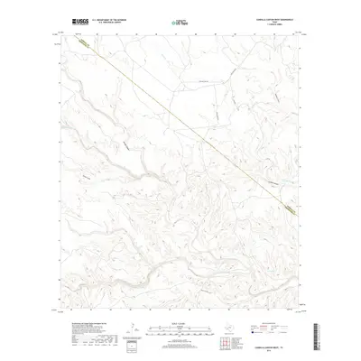
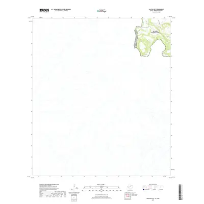
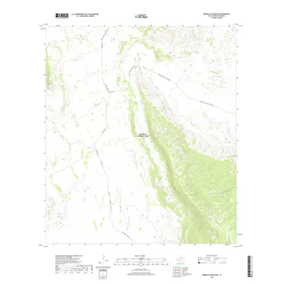
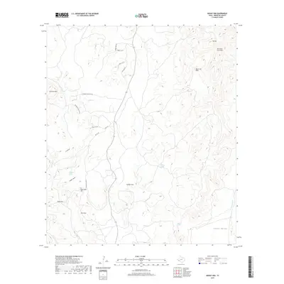
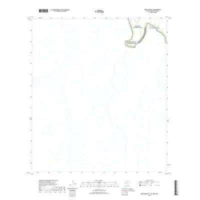
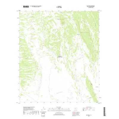
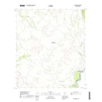
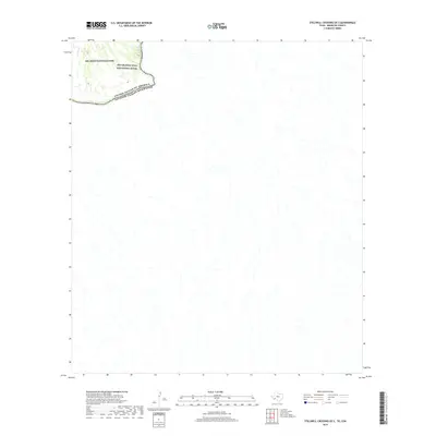
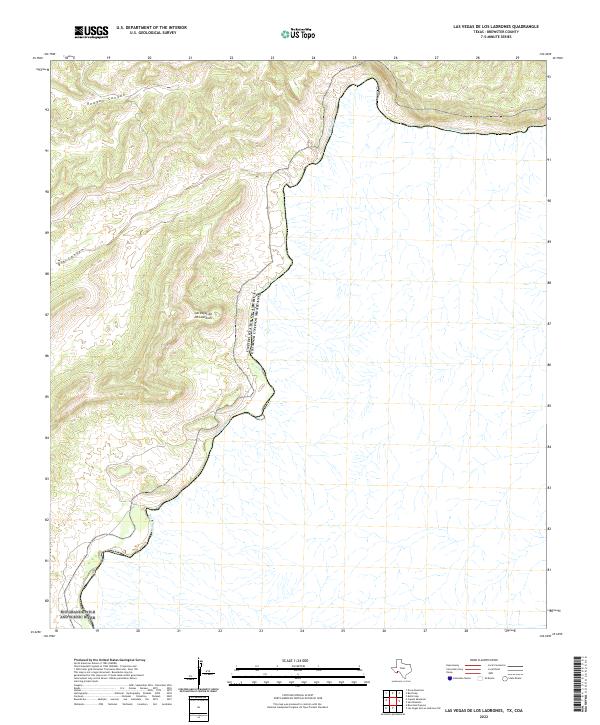
The Rio Grande defines the international boundary in this 1917 survey of Brewster County, where the river carves through high desert terrain. The map records a sparse but functional frontier landscape, notably featuring the Wax Factory situated near the riverbanks. This site likely processed candelilla wax, a primary regional industry of the early twentieth century. Further south, the Horns Ranch stands as a primary landmark for cattle operations in a region marked by steep-walled drainages like Reagan Canyon and Big Canyon. An Old Trail meanders across the flats of Las Vegas De Los Ladrones, providing a look at the historic transit routes used by ranchers and laborers before modern infrastructure reached this isolated stretch of the Texas-Coahuila border.
Find a feature on this map
9 named features on this map. Tap any name to fly to it.
Don’t see what you’re looking for? This feature index may not catch every label — zoom into the map to look around manually.
Map Details
Editions of this 1918 Reagan Canyon Map
4 editions found
Historical Maps of United States Through Time
659 maps found

1903 Chisos Mountains
Brewster County, TX
1905 Chisos Mountains
Brewster County, TX
1917 Agua Fria
Brewster County, TX
1917 Bone Spring
Brewster County, TX
1917 Buck Hill
Brewster County, TX
1917 Hood Spring
Brewster County, TX
1917 Santiago Peak
Brewster County, TX
1918 Bone Spring
Brewster County, TX
1918 Bone Spring
Brewster County, TX
1918 Buck Hill
Brewster County, TX
1918 Bullis Gap
Brewster County, TX
1918 Dove Mountain
Brewster County, TX
1918 Hood Spring
Brewster County, TX
1918 Indian Wells
Brewster County, TX

1918 Nine Point Mesa
Brewster County, TX
1918 Reagan Canyon
Brewster County, TX
1918 Santiago Peak
Brewster County, TX
1919 Maravillas Canyon
Brewster County, TX
1920 Bone Spring
Brewster County, TX
1920 Monument Spring
Brewster County, TX
1921 Monument Spring
Brewster County, TX
1923 Altuda
Brewster County, TX
1923 Hess Canyon
Brewster County, TX
1925 Buck Hill
Brewster County, TX
1930 Stillwell Creek
Brewster County, TX
1931 Hood Spring
Brewster County, TX
1937 Agua Fria
Brewster County, TX
1937 Nine Point Mesa
Brewster County, TX
1938 Santiago Peak
Brewster County, TX
1959 Emory Peak
Brewster County, TX

1965 Emory Peak
Brewster County, TX
1967 Horse Mountain
Brewster County, TX
1968 Dimple Hills
Brewster County, TX
1968 Fresno Creek
Brewster County, TX
1968 Housetop Mountains
Brewster County, TX
1968 Tesnus
Brewster County, TX
1968 Tesnus NE
Brewster County, TX
1968 Tesnus SE
Brewster County, TX
1970 Solis
Brewster County, TX
1971 Amarilla Mountain
Brewster County, TX
1971 Bone Spring
Brewster County, TX
1971 Bone Spring NE
Brewster County, TX
1971 Castolon
Brewster County, TX
1971 Cerro Castellan
Brewster County, TX
1971 Christmas Mountians
Brewster County, TX
1971 Dagger Flat
Brewster County, TX
1971 Emory Peak
Brewster County, TX
1971 Ernst Valley
Brewster County, TX
1971 Glenn Spring
Brewster County, TX
1971 Grapevine Hills
Brewster County, TX
1971 Hen Egg Mountain
Brewster County, TX
1971 McKinney Springs
Brewster County, TX
1971 Mesa De Anguila
Brewster County, TX
1971 Persimmon Gap
Brewster County, TX
1971 Reed Camp
Brewster County, TX
1971 Rio Grande Village
Brewster County, TX
1971 Roys Peak
Brewster County, TX
1971 San Vicente
Brewster County, TX
1971 Smoky Creek
Brewster County, TX
1971 Sombrero Peak
Brewster County, TX
1971 Stillwell Crossing
Brewster County, TX
1971 Sue Peaks
Brewster County, TX
1971 The Basin
Brewster County, TX
1971 Tule Mountain
Brewster County, TX
1971 Yellow Hill
Brewster County, TX
1972 Alpine North
Brewster County, TX
1972 Alpine South
Brewster County, TX
1972 Bird Mountain
Brewster County, TX
1972 Elam Mountain
Brewster County, TX
1980 Hovey
Brewster County, TX
1980 Hovey SW
Brewster County, TX
1980 Last Chance Mesa
Brewster County, TX
1983 Agua Fria Mountain
Brewster County, TX
1983 Altuda
Brewster County, TX
1983 Beckwith Hills
Brewster County, TX
1983 Beef Gap
Brewster County, TX
1983 Bissett Mountain
Brewster County, TX
1983 Black Gap
Brewster County, TX
1983 Bourland Canyon
Brewster County, TX
1983 Buck Hill
Brewster County, TX
1983 Bullis Gap
Brewster County, TX
1983 Bullis Gap NE
Brewster County, TX
1983 Butterbowl
Brewster County, TX
1983 Candilla Canyon West
Brewster County, TX
1983 Cathedral Mountain
Brewster County, TX
1983 Cupola Mountain
Brewster County, TX
1983 Dog Canyon
Brewster County, TX
1983 Dove Mountain
Brewster County, TX
1983 Duff Springs
Brewster County, TX
1983 Dugout Mountain
Brewster County, TX
1983 Elephant Mountain
Brewster County, TX
1983 Gilliland Peak
Brewster County, TX
1983 Goat Mountain
Brewster County, TX
1983 Graytop
Brewster County, TX
1983 Heart Mountain
Brewster County, TX
1983 Hess Canyon
Brewster County, TX
1983 Hood Spring
Brewster County, TX
1983 Hood Spring SE
Brewster County, TX
1983 Horse Mountain
Brewster County, TX
1983 Las Vegas De Los Ladrones
Brewster County, TX
1983 Las Vegas De Los Ladrones SW
Brewster County, TX
1983 Leonard Mountain
Brewster County, TX
1983 Lightning Hills
Brewster County, TX
1983 Long Hills
Brewster County, TX
1983 Maravillas Gap
Brewster County, TX
1983 Mount Ord
Brewster County, TX
1983 Old Blue Mountain
Brewster County, TX
1983 Packsaddle Mountain
Brewster County, TX
1983 Panther Gulch East
Brewster County, TX
1983 Panther Gulch West
Brewster County, TX
1983 Paso Del Norte
Brewster County, TX
1983 Pena Blanca Mountains
Brewster County, TX
1983 Pine Mountain East
Brewster County, TX
1983 Pine Mountain West
Brewster County, TX
1983 Rock House Gap
Brewster County, TX
1983 San Francisco Shutups
Brewster County, TX
1983 San Rosendo
Brewster County, TX
1983 Santiago Peak
Brewster County, TX
1983 Simpson Springs Mountain
Brewster County, TX
1983 Sosa Peak
Brewster County, TX
1983 Stillwell Mountain
Brewster County, TX

1983 Straddlebug Mountain
Brewster County, TX
1983 Twin Peaks
Brewster County, TX
1983 Whirlwind Spring
Brewster County, TX
1983 White Hills
Brewster County, TX
1983 Wolf Camp Hills
Brewster County, TX
1983 Yellow House Peak
Brewster County, TX
1983 Y E Mesa
Brewster County, TX
1984 Boquillas
Brewster County, TX
1985 Chisos Mountains
Brewster County, TX
1985 Dove Mountain
Brewster County, TX
1985 Santiago Mountains
Brewster County, TX
1997 Emory Peak
Brewster County, TX
1997 The Basin
Brewster County, TX
2010 Agua Fria Mountain
Brewster County, TX
2010 Alpine North
Brewster County, TX
2010 Alpine South
Brewster County, TX
2010 Altuda
Brewster County, TX
2010 Amarilla Mountain
Brewster County, TX
2010 Beckwith Hills
Brewster County, TX
2010 Beef Gap
Brewster County, TX

2010 Bird Mountain
Brewster County, TX
2010 Bissett Mountain
Brewster County, TX
2010 Black Gap
Brewster County, TX
2010 Bone Spring
Brewster County, TX
2010 Bone Spring NE
Brewster County, TX
2010 Bourland Canyon
Brewster County, TX
2010 Buck Hill
Brewster County, TX
2010 Bullis Gap
Brewster County, TX
2010 Bullis Gap NE
Brewster County, TX
2010 Butterbowl
Brewster County, TX
2010 Candilla Canyon West
Brewster County, TX
2010 Castolon
Brewster County, TX
2010 Castolon OE S
Brewster County, TX
2010 Cathedral Mountain
Brewster County, TX
2010 Cerro Castellan
Brewster County, TX
2010 Christmas Mountains
Brewster County, TX
2010 Cupola Mountain
Brewster County, TX
2010 Dagger Flat
Brewster County, TX
2010 Dimple Hills
Brewster County, TX
2010 Dog Canyon
Brewster County, TX
2010 Dove Mountain
Brewster County, TX
2010 Duff Springs
Brewster County, TX
2010 Dugout Mountain
Brewster County, TX
2010 Elam Mountain
Brewster County, TX
2010 Elephant Mountain
Brewster County, TX
2010 Emory Peak
Brewster County, TX
2010 Ernst Valley
Brewster County, TX
2010 Fresno Creek
Brewster County, TX
2010 Gilliland Peak
Brewster County, TX
2010 Glenn Spring
Brewster County, TX
2010 Goat Mountain
Brewster County, TX
2010 Grapevine Hills
Brewster County, TX
2010 Graytop
Brewster County, TX
2010 Heart Mountain
Brewster County, TX
2010 Hen Egg Mountain
Brewster County, TX
2010 Hess Canyon
Brewster County, TX
2010 Hood Spring
Brewster County, TX
2010 Hood Spring SE
Brewster County, TX
2010 Horse Mountain
Brewster County, TX
2010 Housetop Mountains
Brewster County, TX
2010 Hovey
Brewster County, TX
2010 Hovey SW
Brewster County, TX
2010 Last Chance Mesa
Brewster County, TX
2010 Las Vegas De Los Ladrones
Brewster County, TX
2010 Las Vegas De Los Ladrones SW
Brewster County, TX
2010 Leonard Mountain
Brewster County, TX
2010 Lightning Hills
Brewster County, TX
2010 Long Hills
Brewster County, TX
2010 Maravillas Gap
Brewster County, TX
2010 Mariscal Mountain OE S
Brewster County, TX
2010 McKinney Springs
Brewster County, TX
2010 Mesa De Anguila
Brewster County, TX
2010 Mount Ord
Brewster County, TX
2010 Old Blue Mountain
Brewster County, TX
2010 Packsaddle Mountain
Brewster County, TX
2010 Panther Gulch East
Brewster County, TX
2010 Panther Gulch West
Brewster County, TX
2010 Panther Junction
Brewster County, TX
2010 Paso Del Norte
Brewster County, TX

2010 Pena Blanca Mountains
Brewster County, TX
2010 Persimmon Gap
Brewster County, TX
2010 Pine Mountain East
Brewster County, TX
2010 Pine Mountain West
Brewster County, TX
2010 Reed Camp
Brewster County, TX
2010 Reed Camp OE S
Brewster County, TX
2010 Rio Grande Village
Brewster County, TX
2010 Rock House Gap
Brewster County, TX
2010 Roys Peak
Brewster County, TX
2010 San Francisco Shutups
Brewster County, TX
2010 Santiago Peak
Brewster County, TX
2010 San Vicente
Brewster County, TX
2010 Simpson Springs Mountain
Brewster County, TX
2010 Smoky Creek
Brewster County, TX
2010 Solis
Brewster County, TX
2010 Solis OE S
Brewster County, TX
2010 Stillwell Crossing
Brewster County, TX
2010 Stillwell Mountain
Brewster County, TX
2010 Straddlebug Mountain
Brewster County, TX
2010 Sue Peaks
Brewster County, TX
2010 Tesnus
Brewster County, TX
2010 Tesnus NE
Brewster County, TX
2010 Tesnus SE
Brewster County, TX
2010 Tule Mountain
Brewster County, TX
2010 Twin Peaks
Brewster County, TX
2010 Whirlwind Spring
Brewster County, TX
2010 White Hills
Brewster County, TX
2010 Wolf Camp Hills
Brewster County, TX
2010 Yellow Hill
Brewster County, TX
2010 Yellow House Peak
Brewster County, TX
2010 Y E Mesa
Brewster County, TX
2011 Lajitas OE S
Brewster County, TX
2011 Mariscal Mountain
Brewster County, TX
2011 Rio Grande Village OE E
Brewster County, TX
2011 San Rosendo
Brewster County, TX
2011 Sombrero Peak
Brewster County, TX
2011 Sosa Peak
Brewster County, TX

2011 Stillwell Crossing OE S
Brewster County, TX
2011 The Basin
Brewster County, TX
2012 Alpine North
Brewster County, TX
2012 Alpine South
Brewster County, TX
2012 Altuda
Brewster County, TX
2012 Amarilla Mountain
Brewster County, TX
2012 Beckwith Hills
Brewster County, TX
2012 Bird Mountain
Brewster County, TX
2012 Bissett Mountain
Brewster County, TX
2012 Bone Spring
Brewster County, TX
2012 Bone Spring NE
Brewster County, TX
2012 Buck Hill
Brewster County, TX
2012 Butterbowl
Brewster County, TX
2012 Castolon
Brewster County, TX
2012 Castolon OE S
Brewster County, TX
2012 Cathedral Mountain
Brewster County, TX
2012 Cerro Castellan
Brewster County, TX
2012 Christmas Mountains
Brewster County, TX

2012 Dagger Flat
Brewster County, TX
2012 Dimple Hills
Brewster County, TX
2012 Dog Canyon
Brewster County, TX
2012 Duff Springs
Brewster County, TX
2012 Dugout Mountain
Brewster County, TX
2012 Elam Mountain
Brewster County, TX
2012 Elephant Mountain
Brewster County, TX
2012 Emory Peak
Brewster County, TX
2012 Fresno Creek
Brewster County, TX
2012 Gilliland Peak
Brewster County, TX
2012 Glenn Spring
Brewster County, TX
2012 Goat Mountain
Brewster County, TX
2012 Graytop
Brewster County, TX
2012 Hen Egg Mountain
Brewster County, TX
2012 Hess Canyon
Brewster County, TX
2012 Hood Spring
Brewster County, TX
2012 Hood Spring SE
Brewster County, TX
2012 Horse Mountain
Brewster County, TX
2012 Housetop Mountains
Brewster County, TX
2012 Hovey
Brewster County, TX
2012 Hovey SW
Brewster County, TX
2012 Lajitas OE S
Brewster County, TX
2012 Last Chance Mesa
Brewster County, TX
2012 Leonard Mountain
Brewster County, TX
2012 Lightning Hills
Brewster County, TX
2012 Long Hills
Brewster County, TX
2012 Maravillas Gap
Brewster County, TX
2012 Mariscal Mountain
Brewster County, TX
2012 Mariscal Mountain OE S
Brewster County, TX
2012 McKinney Springs
Brewster County, TX
2012 Mesa De Anguila
Brewster County, TX
2012 Mount Ord
Brewster County, TX
2012 Old Blue Mountain
Brewster County, TX
2012 Packsaddle Mountain
Brewster County, TX
2012 Panther Junction
Brewster County, TX
2012 Paso Del Norte
Brewster County, TX
2012 Pena Blanca Mountains
Brewster County, TX
2012 Persimmon Gap
Brewster County, TX
2012 Reed Camp
Brewster County, TX
2012 Reed Camp OE S
Brewster County, TX
2012 Rock House Gap
Brewster County, TX
2012 Roys Peak
Brewster County, TX
2012 Santiago Peak
Brewster County, TX
2012 San Vicente
Brewster County, TX
2012 Simpson Springs Mountain
Brewster County, TX
2012 Smoky Creek
Brewster County, TX
2012 Solis
Brewster County, TX
2012 Solis OE S
Brewster County, TX
2012 Sombrero Peak
Brewster County, TX
2012 Sosa Peak
Brewster County, TX
2012 Straddlebug Mountain
Brewster County, TX
2012 Tesnus
Brewster County, TX
2012 Tesnus NE
Brewster County, TX
2012 Tesnus SE
Brewster County, TX
2012 The Basin
Brewster County, TX
2012 Tule Mountain
Brewster County, TX
2012 Twin Peaks
Brewster County, TX
2012 Whirlwind Spring
Brewster County, TX
2012 White Hills
Brewster County, TX
2012 Wolf Camp Hills
Brewster County, TX
2012 Yellow Hill
Brewster County, TX

2013 Agua Fria Mountain
Brewster County, TX
2013 Beef Gap
Brewster County, TX
2013 Black Gap
Brewster County, TX
2013 Bourland Canyon
Brewster County, TX
2013 Bullis Gap
Brewster County, TX
2013 Bullis Gap NE
Brewster County, TX
2013 Candilla Canyon West
Brewster County, TX
2013 Cupola Mountain
Brewster County, TX
2013 Dove Mountain
Brewster County, TX
2013 Ernst Valley
Brewster County, TX
2013 Grapevine Hills
Brewster County, TX
2013 Heart Mountain
Brewster County, TX
2013 Las Vegas De Los Ladrones
Brewster County, TX
2013 Las Vegas De Los Ladrones SW
Brewster County, TX
2013 Panther Gulch East
Brewster County, TX
2013 Panther Gulch West
Brewster County, TX
2013 Pine Mountain East
Brewster County, TX
2013 Pine Mountain West
Brewster County, TX
2013 Rio Grande Village
Brewster County, TX
2013 Rio Grande Village OE E
Brewster County, TX
2013 San Francisco Shutups
Brewster County, TX
2013 San Rosendo
Brewster County, TX
2013 Stillwell Crossing
Brewster County, TX
2013 Stillwell Crossing OE S
Brewster County, TX
2013 Stillwell Mountain
Brewster County, TX
2013 Sue Peaks
Brewster County, TX
2013 Yellow House Peak
Brewster County, TX
2013 Y E Mesa
Brewster County, TX
2016 Agua Fria Mountain
Brewster County, TX
2016 Alpine North
Brewster County, TX
2016 Alpine South
Brewster County, TX
2016 Altuda
Brewster County, TX
2016 Amarilla Mountain
Brewster County, TX
2016 Beckwith Hills
Brewster County, TX
2016 Beef Gap
Brewster County, TX
2016 Bird Mountain
Brewster County, TX
2016 Bissett Mountain
Brewster County, TX
2016 Black Gap
Brewster County, TX
2016 Bone Spring
Brewster County, TX
2016 Bone Spring NE
Brewster County, TX
2016 Bourland Canyon
Brewster County, TX
2016 Buck Hill
Brewster County, TX
2016 Bullis Gap
Brewster County, TX
2016 Bullis Gap NE
Brewster County, TX
2016 Butterbowl
Brewster County, TX
2016 Candilla Canyon West
Brewster County, TX
2016 Castolon
Brewster County, TX
2016 Castolon OE S
Brewster County, TX
2016 Cathedral Mountain
Brewster County, TX
2016 Cerro Castellan
Brewster County, TX
2016 Christmas Mountains
Brewster County, TX
2016 Cupola Mountain
Brewster County, TX
2016 Dagger Flat
Brewster County, TX
2016 Dimple Hills
Brewster County, TX
2016 Dog Canyon
Brewster County, TX
2016 Dove Mountain
Brewster County, TX
2016 Duff Springs
Brewster County, TX
2016 Dugout Mountain
Brewster County, TX
2016 Elam Mountain
Brewster County, TX
2016 Elephant Mountain
Brewster County, TX
2016 Emory Peak
Brewster County, TX
2016 Ernst Valley
Brewster County, TX
2016 Fresno Creek
Brewster County, TX
2016 Gilliland Peak
Brewster County, TX
2016 Glenn Spring
Brewster County, TX
2016 Goat Mountain
Brewster County, TX
2016 Grapevine Hills
Brewster County, TX
2016 Graytop
Brewster County, TX
2016 Heart Mountain
Brewster County, TX
2016 Hen Egg Mountain
Brewster County, TX
2016 Hess Canyon
Brewster County, TX
2016 Hood Spring
Brewster County, TX
2016 Hood Spring SE
Brewster County, TX
2016 Horse Mountain
Brewster County, TX
2016 Housetop Mountains
Brewster County, TX
2016 Hovey
Brewster County, TX
2016 Hovey SW
Brewster County, TX
2016 Lajitas OE S
Brewster County, TX
2016 Last Chance Mesa
Brewster County, TX
2016 Las Vegas De Los Ladrones
Brewster County, TX
2016 Las Vegas De Los Ladrones SW
Brewster County, TX
2016 Leonard Mountain
Brewster County, TX
2016 Lightning Hills
Brewster County, TX
2016 Long Hills
Brewster County, TX
2016 Maravillas Gap
Brewster County, TX
2016 Mariscal Mountain
Brewster County, TX
2016 Mariscal Mountain OE S
Brewster County, TX
2016 McKinney Springs
Brewster County, TX
2016 Mesa De Anguila
Brewster County, TX
2016 Mount Ord
Brewster County, TX
2016 Old Blue Mountain
Brewster County, TX
2016 Packsaddle Mountain
Brewster County, TX
2016 Panther Gulch East
Brewster County, TX
2016 Panther Gulch West
Brewster County, TX
2016 Panther Junction
Brewster County, TX
2016 Paso Del Norte
Brewster County, TX
2016 Pena Blanca Mountains
Brewster County, TX
2016 Persimmon Gap
Brewster County, TX
2016 Pine Mountain East
Brewster County, TX
2016 Pine Mountain West
Brewster County, TX
2016 Reed Camp
Brewster County, TX
2016 Reed Camp OE S
Brewster County, TX
2016 Rio Grande Village
Brewster County, TX
2016 Rio Grande Village OE E
Brewster County, TX
2016 Rock House Gap
Brewster County, TX
2016 Roys Peak
Brewster County, TX
2016 San Francisco Shutups
Brewster County, TX
2016 San Rosendo
Brewster County, TX
2016 Santiago Peak
Brewster County, TX
2016 San Vicente
Brewster County, TX
2016 Simpson Springs Mountain
Brewster County, TX
2016 Smoky Creek
Brewster County, TX
2016 Solis
Brewster County, TX
2016 Solis OE S
Brewster County, TX
2016 Sombrero Peak
Brewster County, TX
2016 Sosa Peak
Brewster County, TX
2016 Stillwell Crossing
Brewster County, TX
2016 Stillwell Crossing OE S
Brewster County, TX
2016 Stillwell Mountain
Brewster County, TX
2016 Straddlebug Mountain
Brewster County, TX
2016 Sue Peaks
Brewster County, TX
2016 Tesnus
Brewster County, TX
2016 Tesnus NE
Brewster County, TX
2016 Tesnus SE
Brewster County, TX
2016 The Basin
Brewster County, TX
2016 Tule Mountain
Brewster County, TX
2016 Twin Peaks
Brewster County, TX
2016 Whirlwind Spring
Brewster County, TX
2016 White Hills
Brewster County, TX
2016 Wolf Camp Hills
Brewster County, TX
2016 Yellow Hill
Brewster County, TX
2016 Yellow House Peak
Brewster County, TX
2016 Y E Mesa
Brewster County, TX
2019 Agua Fria Mountain
Brewster County, TX
2019 Alpine North
Brewster County, TX
2019 Alpine South
Brewster County, TX
2019 Altuda
Brewster County, TX
2019 Amarilla Mountain
Brewster County, TX
2019 Beckwith Hills
Brewster County, TX
2019 Beef Gap
Brewster County, TX
2019 Bird Mountain
Brewster County, TX
2019 Bissett Mountain
Brewster County, TX
2019 Black Gap
Brewster County, TX
2019 Bone Spring
Brewster County, TX
2019 Bone Spring NE
Brewster County, TX
2019 Bourland Canyon
Brewster County, TX
2019 Buck Hill
Brewster County, TX
2019 Bullis Gap
Brewster County, TX
2019 Bullis Gap NE
Brewster County, TX
2019 Butterbowl
Brewster County, TX
2019 Candilla Canyon West
Brewster County, TX
2019 Castolon
Brewster County, TX
2019 Castolon OE S
Brewster County, TX
2019 Cathedral Mountain
Brewster County, TX
2019 Cerro Castellan
Brewster County, TX
2019 Christmas Mountains
Brewster County, TX
2019 Cupola Mountain
Brewster County, TX
2019 Dagger Flat
Brewster County, TX
2019 Dimple Hills
Brewster County, TX
2019 Dog Canyon
Brewster County, TX
2019 Dove Mountain
Brewster County, TX
2019 Duff Springs
Brewster County, TX
2019 Dugout Mountain
Brewster County, TX
2019 Elam Mountain
Brewster County, TX
2019 Elephant Mountain
Brewster County, TX
2019 Emory Peak
Brewster County, TX
2019 Ernst Valley
Brewster County, TX
2019 Fresno Creek
Brewster County, TX
2019 Gilliland Peak
Brewster County, TX
2019 Glenn Spring
Brewster County, TX
2019 Goat Mountain
Brewster County, TX
2019 Grapevine Hills
Brewster County, TX
2019 Graytop
Brewster County, TX
2019 Heart Mountain
Brewster County, TX
2019 Hen Egg Mountain
Brewster County, TX
2019 Hess Canyon
Brewster County, TX
2019 Hood Spring
Brewster County, TX
2019 Hood Spring SE
Brewster County, TX
2019 Horse Mountain
Brewster County, TX
2019 Housetop Mountains
Brewster County, TX
2019 Hovey
Brewster County, TX
2019 Hovey SW
Brewster County, TX
2019 Lajitas OE S
Brewster County, TX
2019 Last Chance Mesa
Brewster County, TX
2019 Las Vegas De Los Ladrones
Brewster County, TX
2019 Las Vegas De Los Ladrones SW
Brewster County, TX
2019 Leonard Mountain
Brewster County, TX
2019 Lightning Hills
Brewster County, TX
2019 Long Hills
Brewster County, TX
2019 Maravillas Gap
Brewster County, TX
2019 Mariscal Mountain
Brewster County, TX
2019 Mariscal Mountain OE S
Brewster County, TX
2019 McKinney Springs
Brewster County, TX
2019 Mesa De Anguila
Brewster County, TX
2019 Mount Ord
Brewster County, TX
2019 Old Blue Mountain
Brewster County, TX
2019 Packsaddle Mountain
Brewster County, TX
2019 Panther Gulch East
Brewster County, TX
2019 Panther Gulch West
Brewster County, TX
2019 Panther Junction
Brewster County, TX
2019 Paso Del Norte
Brewster County, TX
2019 Pena Blanca Mountains
Brewster County, TX
2019 Persimmon Gap
Brewster County, TX
2019 Pine Mountain East
Brewster County, TX
2019 Pine Mountain West
Brewster County, TX
2019 Reed Camp
Brewster County, TX
2019 Reed Camp OE S
Brewster County, TX
2019 Rio Grande Village
Brewster County, TX
2019 Rio Grande Village OE E
Brewster County, TX
2019 Rock House Gap
Brewster County, TX
2019 Roys Peak
Brewster County, TX
2019 San Francisco Shutups
Brewster County, TX
2019 San Rosendo
Brewster County, TX
2019 Santiago Peak
Brewster County, TX
2019 San Vicente
Brewster County, TX
2019 Simpson Springs Mountain
Brewster County, TX
2019 Smoky Creek
Brewster County, TX
2019 Solis
Brewster County, TX
2019 Solis OE S
Brewster County, TX
2019 Sombrero Peak
Brewster County, TX
2019 Sosa Peak
Brewster County, TX
2019 Stillwell Crossing
Brewster County, TX
2019 Stillwell Crossing OE S
Brewster County, TX
2019 Stillwell Mountain
Brewster County, TX
2019 Straddlebug Mountain
Brewster County, TX
2019 Sue Peaks
Brewster County, TX
2019 Tesnus
Brewster County, TX
2019 Tesnus NE
Brewster County, TX
2019 Tesnus SE
Brewster County, TX
2019 The Basin
Brewster County, TX
2019 Tule Mountain
Brewster County, TX
2019 Twin Peaks
Brewster County, TX
2019 Whirlwind Spring
Brewster County, TX
2019 White Hills
Brewster County, TX
2019 Wolf Camp Hills
Brewster County, TX
2019 Yellow Hill
Brewster County, TX
2019 Yellow House Peak
Brewster County, TX
2019 Y E Mesa
Brewster County, TX
2022 Agua Fria Mountain
Brewster County, TX
2022 Alpine North
Brewster County, TX
2022 Alpine South
Brewster County, TX
2022 Altuda
Brewster County, TX
2022 Amarilla Mountain
Brewster County, TX
2022 Beckwith Hills
Brewster County, TX
2022 Beef Gap
Brewster County, TX
2022 Bird Mountain
Brewster County, TX
2022 Bissett Mountain
Brewster County, TX
2022 Black Gap
Brewster County, TX
2022 Bone Spring
Brewster County, TX
2022 Bone Spring NE
Brewster County, TX
2022 Bourland Canyon
Brewster County, TX
2022 Buck Hill
Brewster County, TX
2022 Bullis Gap
Brewster County, TX
2022 Bullis Gap NE
Brewster County, TX

2022 Butterbowl
Brewster County, TX
2022 Candilla Canyon West
Brewster County, TX
2022 Castolon
Brewster County, TX
2022 Castolon OE S
Brewster County, TX
2022 Cathedral Mountain
Brewster County, TX
2022 Cerro Castellan
Brewster County, TX
2022 Christmas Mountains
Brewster County, TX
2022 Cupola Mountain
Brewster County, TX
2022 Dagger Flat
Brewster County, TX
2022 Dimple Hills
Brewster County, TX
2022 Dog Canyon
Brewster County, TX
2022 Dove Mountain
Brewster County, TX
2022 Duff Springs
Brewster County, TX
2022 Dugout Mountain
Brewster County, TX
2022 Elam Mountain
Brewster County, TX
2022 Elephant Mountain
Brewster County, TX
2022 Emory Peak
Brewster County, TX
2022 Ernst Valley
Brewster County, TX
2022 Fresno Creek
Brewster County, TX
2022 Gilliland Peak
Brewster County, TX
2022 Glenn Spring
Brewster County, TX
2022 Goat Mountain
Brewster County, TX
2022 Grapevine Hills
Brewster County, TX
2022 Graytop
Brewster County, TX
2022 Heart Mountain
Brewster County, TX
2022 Hen Egg Mountain
Brewster County, TX
2022 Hess Canyon
Brewster County, TX
2022 Hood Spring
Brewster County, TX
2022 Hood Spring SE
Brewster County, TX
2022 Horse Mountain
Brewster County, TX
2022 Housetop Mountains
Brewster County, TX
2022 Hovey
Brewster County, TX

2022 Lajitas OE S
Brewster County, TX
2022 Last Chance Mesa
Brewster County, TX
2022 Las Vegas De Los Ladrones
Brewster County, TX
2022 Las Vegas De Los Ladrones SW
Brewster County, TX
2022 Leonard Mountain
Brewster County, TX
2022 Lightning Hills
Brewster County, TX
2022 Long Hills
Brewster County, TX
2022 Maravillas Gap
Brewster County, TX
2022 Mariscal Mountain
Brewster County, TX
2022 Mariscal Mountain OE S
Brewster County, TX
2022 McKinney Springs
Brewster County, TX
2022 Mesa De Anguila
Brewster County, TX
2022 Mount Ord
Brewster County, TX
2022 Old Blue Mountain
Brewster County, TX
2022 Packsaddle Mountain
Brewster County, TX
2022 Panther Gulch East
Brewster County, TX
2022 Panther Gulch West
Brewster County, TX
2022 Panther Junction
Brewster County, TX
2022 Paso Del Norte
Brewster County, TX
2022 Pena Blanca Mountains
Brewster County, TX
2022 Persimmon Gap
Brewster County, TX
2022 Pine Mountain East
Brewster County, TX
2022 Pine Mountain West
Brewster County, TX
2022 Reed Camp
Brewster County, TX
2022 Reed Camp OE S
Brewster County, TX
2022 Rio Grande Village
Brewster County, TX
2022 Rio Grande Village OE E
Brewster County, TX
2022 Rock House Gap
Brewster County, TX
2022 Roys Peak
Brewster County, TX
2022 San Francisco Shutups
Brewster County, TX
2022 San Rosendo
Brewster County, TX
2022 Santiago Peak
Brewster County, TX
2022 San Vicente
Brewster County, TX
2022 Simpson Springs Mountain
Brewster County, TX
2022 Smoky Creek
Brewster County, TX
2022 Solis
Brewster County, TX
2022 Solis OE S
Brewster County, TX
2022 Sombrero Peak
Brewster County, TX
2022 Sosa Peak
Brewster County, TX
2022 Stillwell Crossing
Brewster County, TX
2022 Stillwell Crossing OE S
Brewster County, TX
2022 Stillwell Mountain
Brewster County, TX
2022 Straddlebug Mountain
Brewster County, TX
2022 Sue Peaks
Brewster County, TX
2022 Tesnus
Brewster County, TX
2022 Tesnus NE
Brewster County, TX
2022 Tesnus SE
Brewster County, TX
2022 The Basin
Brewster County, TX
2022 Tule Mountain
Brewster County, TX
2022 Twin Peaks
Brewster County, TX
2022 Whirlwind Spring
Brewster County, TX
2022 White Hills
Brewster County, TX
2022 Wolf Camp Hills
Brewster County, TX
2022 Yellow Hill
Brewster County, TX
2022 Yellow House Peak
Brewster County, TX
2022 Y E Mesa
Brewster County, TX
2023 Hovey SW
Brewster County, TX