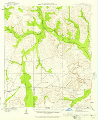
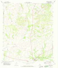
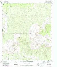
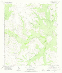
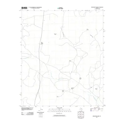
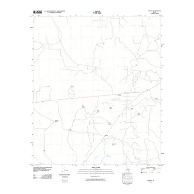
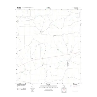
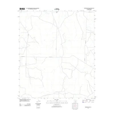
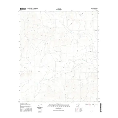
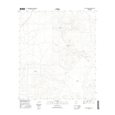
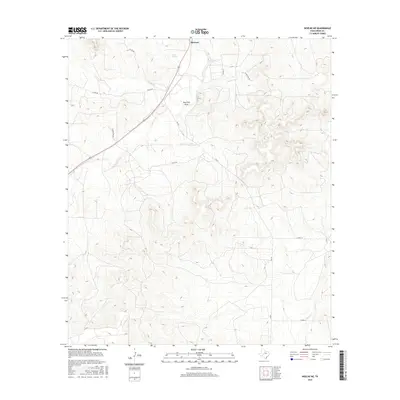
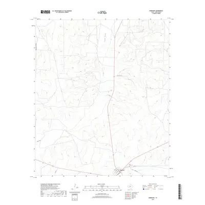
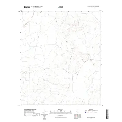
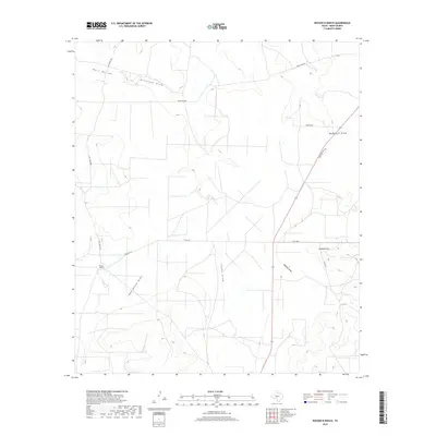
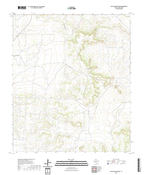
1921 Map of Ketchum Mountain
USGS Topo · Published 1957About this map
The Middle Concho River and Concho River carve a path through the livestock-driven landscape of Irion County in the early 1920s. This survey records a geography defined by expansive private holdings, where named ranches such as 7 Bar D Ranch, Evans Ranch, and the Bar S Ranch serve as the primary landmarks across the rolling terrain. The presence of the Burney School near Ketchum Mountain suggests a small but established community of ranching families during this era.
Find a feature on this map
24 named features on this map. Tap any name to fly to it.
Don’t see what you’re looking for? This feature index may not catch every label — zoom into the map to look around manually.
Map Details
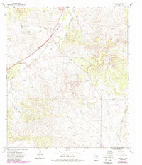
Editions of this 1921 Ketchum Mountain Map
This is the sole edition of this map. No revisions or reprints were ever made.
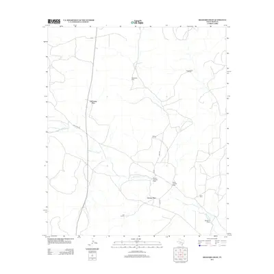
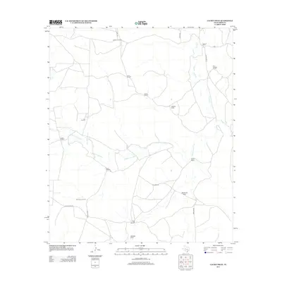
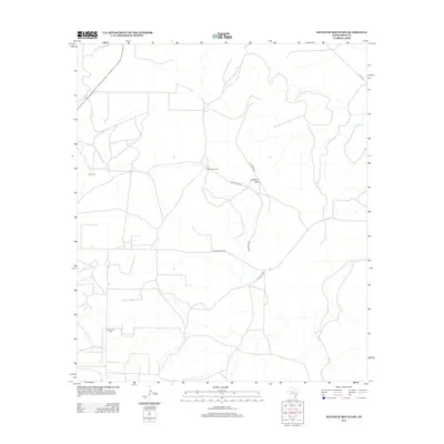
Historical Maps of Old Freitag Place Through Time
71 maps found
1895 Sherwood
Irion County, TX
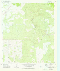
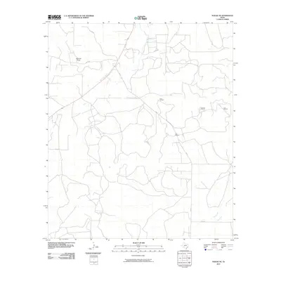
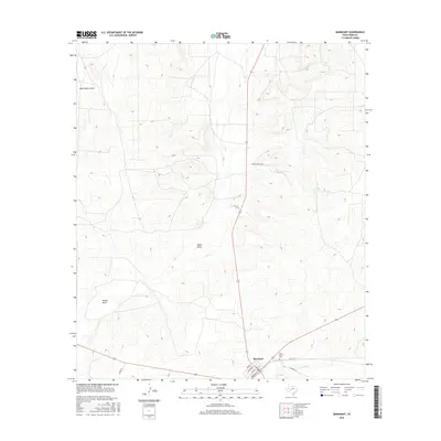
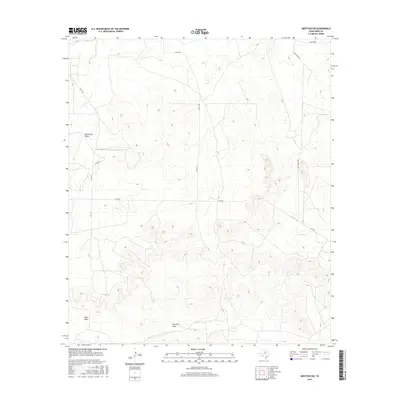
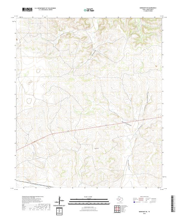
1920 Barnhart
Irion County, TX
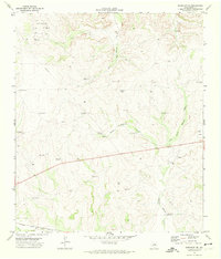
1921 Ketchum Mountain
Irion County, TX

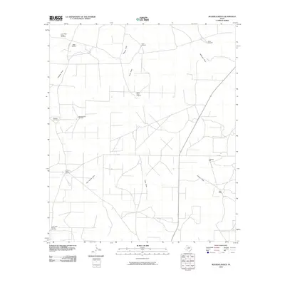
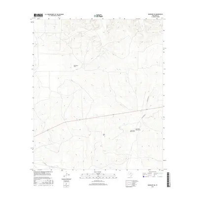
1922 Barnhart
Irion County, TX
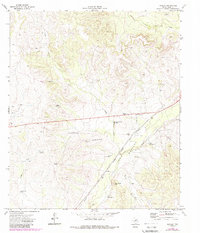
1923 Ketchum Mountain
Irion County, TX
1971 Barnhart
Irion County, TX
1971 Barnhart NE
Irion County, TX
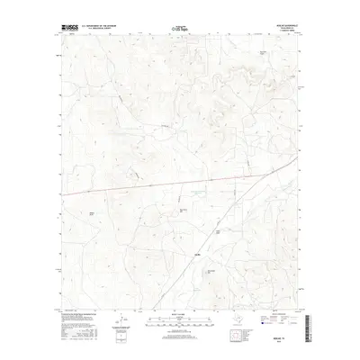
1971 Noelke
Irion County, TX
1972 Arden
Irion County, TX
1972 Mertzon SW
Irion County, TX
1972 Noelke NE
Irion County, TX
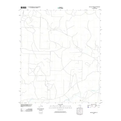
1972 Wallace Draw
Irion County, TX
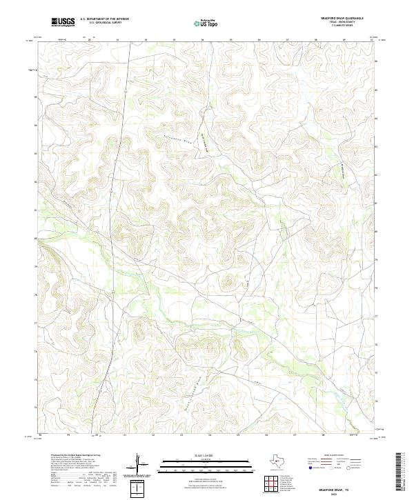
1973 Bradford Draw
Irion County, TX
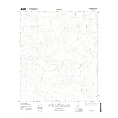
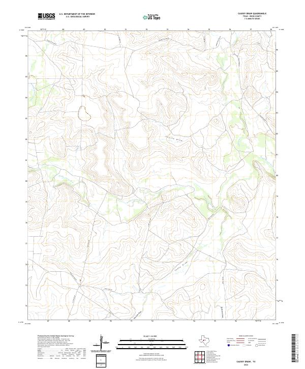
1973 Causey Draw
Irion County, TX
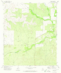
1973 Ketchum Mountain
Irion County, TX

1973 Rocker B Ranch
Irion County, TX
2010 Arden
Irion County, TX
2010 Barnhart
Irion County, TX

2010 Barnhart NE
Irion County, TX
2010 Bradford Draw
Irion County, TX
2010 Causey Draw
Irion County, TX
2010 Ketchum Mountain
Irion County, TX
2010 Mertzon SW
Irion County, TX
2010 Noelke
Irion County, TX
2010 Noelke NE
Irion County, TX
2010 Rocker B Ranch
Irion County, TX
2010 Wallace Draw
Irion County, TX

2012 Arden
Irion County, TX

2012 Barnhart
Irion County, TX
2012 Barnhart NE
Irion County, TX
2012 Bradford Draw
Irion County, TX
2012 Causey Draw
Irion County, TX
2012 Ketchum Mountain
Irion County, TX
2012 Mertzon SW
Irion County, TX

2012 Noelke
Irion County, TX
2012 Noelke NE
Irion County, TX
2012 Rocker B Ranch
Irion County, TX
2013 Wallace Draw
Irion County, TX
2016 Arden
Irion County, TX
2016 Barnhart
Irion County, TX
2016 Barnhart NE
Irion County, TX
2016 Bradford Draw
Irion County, TX
2016 Causey Draw
Irion County, TX
2016 Ketchum Mountain
Irion County, TX
2016 Mertzon SW
Irion County, TX
2016 Noelke
Irion County, TX
2016 Noelke NE
Irion County, TX
2016 Rocker B Ranch
Irion County, TX
2016 Wallace Draw
Irion County, TX
2019 Arden
Irion County, TX
2019 Barnhart
Irion County, TX
2019 Barnhart NE
Irion County, TX
2019 Bradford Draw
Irion County, TX
2019 Causey Draw
Irion County, TX
2019 Ketchum Mountain
Irion County, TX
2019 Mertzon SW
Irion County, TX
2019 Noelke
Irion County, TX
2019 Noelke NE
Irion County, TX
2019 Rocker B Ranch
Irion County, TX
2019 Wallace Draw
Irion County, TX
2022 Arden
Irion County, TX
2022 Barnhart
Irion County, TX
2022 Barnhart NE
Irion County, TX
2022 Bradford Draw
Irion County, TX
2022 Causey Draw
Irion County, TX
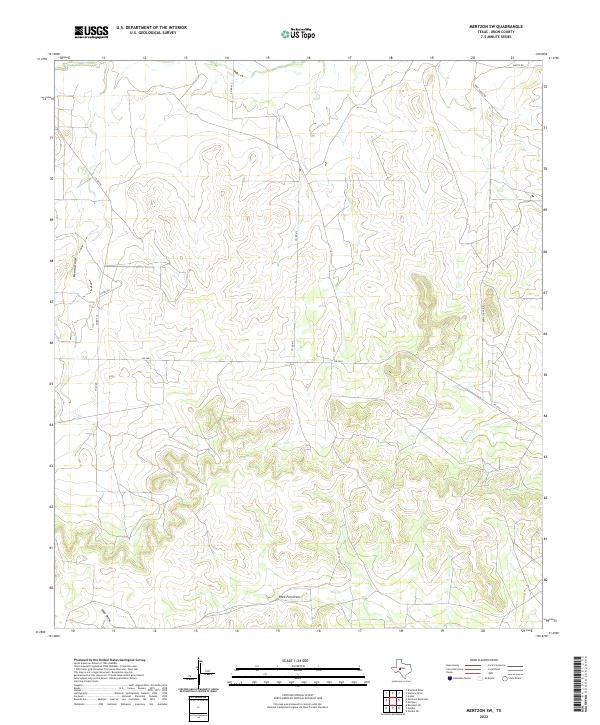
2022 Ketchum Mountain
Irion County, TX
2022 Mertzon SW
Irion County, TX
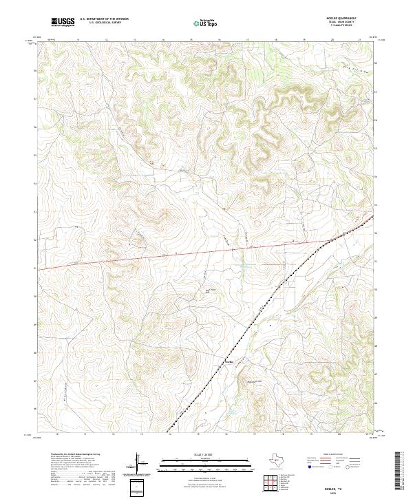
2022 Noelke
Irion County, TX
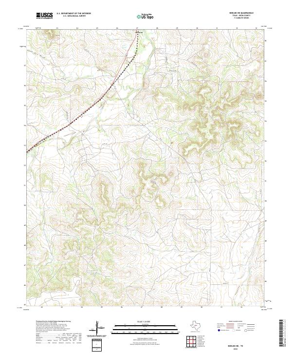
2022 Noelke NE
Irion County, TX
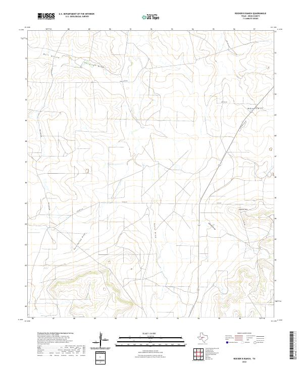
2022 Rocker B Ranch
Irion County, TX
2022 Wallace Draw
Irion County, TX