Old Maps of Old Freitag Place, Texas
Explore 12 old maps of Old Freitag Place, spanning from 1921 to today. These high-resolution historic maps reveal how streets, neighborhoods, landmarks, and natural features evolved over time — perfect for genealogy, metal detecting, research, and local history exploration.
What you can do with these maps:
- See how Old Freitag Place changed over time: Compare historical maps to modern-day views to trace roads, homesites, rail lines & more.
- View detailed metadata: Each map includes creators, publishers, year, scale, and archive source.
- Overlay maps with satellite & LiDAR: Visualize the past alongside modern tools to explore terrain & human change.
- Trusted historical sources: Maps sourced from the USGS, Library of Congress, and other archives.
- Access maps your way: View online, download high-res files, or order prints for personal or research use.
Start exploring old maps of Old Freitag Place to uncover forgotten places, hidden landmarks, and the deep history beneath your feet.
Old Freitag Place, TX maps
(12)- 1921 Map of Ketchum Mountain, 1957 Print
 1921 Ketchum Mountain1957 Print · USGSWest Texas ranching life is frozen in time during the early 1920s, revealing a landscape of family-named cattle spreads and essential water sources. Researchers can trace the heritage of the Evans Ranch, 7 Bar D Ranch, and the remote Burney School near Ketchum Mountain.
 - 1923 Map of Ketchum Mountain
 1923 Ketchum Mountain1923 Print · USGSIrion County ranching life in the early twenties is centered around the Middle Concho River and its essential water wells. Researchers can trace the layout of early Texas landholdings including the 7 Bar D Ranch, Bristow Ranch, and the rural Burney School.2 unique versions available
 - 1954 Map of San Angelo, 1967 Print
 1954 San Angelo1967 Print · USGSThe Concho Valley and eastern Permian Basin transition from ranching to a burgeoning oil economy during the mid-twentieth century. Trace the expansion of San Angelo near Goodfellow AFB and locate old crossroads like Stiles, Texon, and Barnhart along the SANTA FE railroad.2 unique versions available
 - 1958 Map of San Angelo
 1958 San Angelo1958 Print · USGSWest Texas in the late fifties centers on the growing hub of San Angelo and its vital river confluences. Genealogists and historians can trace the paths of the Santa Fe railroad to outposts like Fort Chadbourne, Big Lake, and the specialized community of Sanatorium.
 - 1965 Map of San Angelo
 1965 San Angelo1965 Print · USGSWest Texas in the mid-sixties reveals a landscape shaped by the petroleum industry and strategic water management. Genealogists and historians can trace the rail corridor through Texon and Big Lake, or locate military landmarks like Goodfellow AFB and Broome Air Force Auxiliary Airfield.
 - 1973 Map of Bradford Draw, 1975 Print
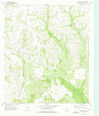 1973 Bradford Draw1975 Print · USGSIrion County ranchlands in the early 1970s are defined by the vital water network of the Middle Concho River. Family-history researchers can trace historic properties like the Old Freitag Place and Old Burk Place or locate early energy infrastructure including a Gas Well.
 - 1986 Map of Big Lake, 1993 Print
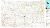 1986 Big Lake1993 Print · USGSReagan County in the mid-eighties was a landscape defined by the Permian Basin energy boom and the steel rails of the Santa Fe line. Researchers can trace the sprawling footprints of the Big Lake Oil Field and Stiles Oil Field alongside historic rail stops like Texon and Santa Rita.
 - 2010 Map of Bradford Draw, 2010 Print
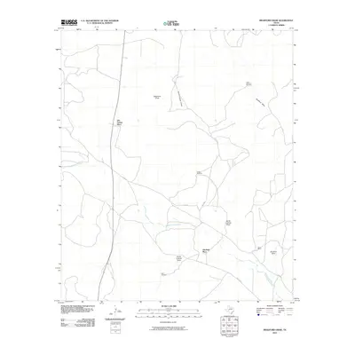 2010 Bradford Draw2010 Print · USGSIrion County ranch land in the early twenty-first century is defined by its seasonal watercourses and historic homesteads. Genealogists and local historians can trace the locations of the Old Burk Place, Sheen Ranch, and essential water sources like Bluff Windmill.
 - 2012 Map of Bradford Draw, 2012 Print
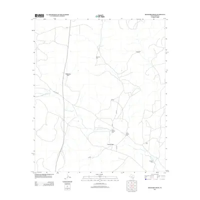 2012 Bradford Draw2012 Print · USGSIrion County ranch land in the early 21st century is defined by its vital water sources and historic family holdings. Genealogists and local historians can trace legacy sites like the Old Freitag Place and Old Burk Place alongside the Middle Concho River.
 - 2016 Map of Bradford Draw, 2016 Print
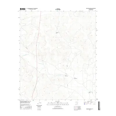 2016 Bradford Draw2016 Print · USGSIrion County ranchlands are captured here in the mid-2010s, showing the intersection of vital West Texas waterways and rural transport. Researchers can trace land use along the Middle Concho River and follow backcountry routes like Wales Rd and Bacon Bind Rd.
 - 2019 Map of Bradford Draw, 2019 Print
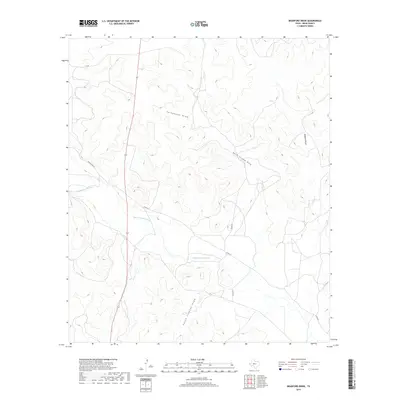 2019 Bradford Draw2019 Print · USGSThe Irion County ranch lands south of Barnhart are captured here in the late 2010s, showing a landscape defined by the Middle Concho River. Researchers can trace the path of Highway 163 past local landmarks like Telephone Draw and Bacon Rind Rd.
 - 2022 Map of Bradford Draw, 2022 Print
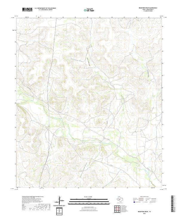 2022 Bradford Draw2022 Print · USGSIrion County ranch lands are shown in recent years as they follow the natural contours of the West Texas landscape. Researchers can trace the winding path of the Middle Concho River and its network of draws, including Telephone Draw and Bradford Draw.
End of results
Showing maps 1-12 of 12
Frequently asked questions
- What are the different types of historical maps available for Old Freitag Place?
- What is the oldest map of Old Freitag Place?
- Where can I purchase historical maps of Old Freitag Place for my home or office?
- Where can I download high-res historical maps of Old Freitag Place?
- Are there historical topographic maps available for Old Freitag Place?
- Is there historical aerial imagery available for Old Freitag Place?
- Where are historical maps of Old Freitag Place sourced from?