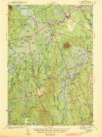
1943 Map of Big Lake
USGS Topo · Published 1943About this map
Princeton serves as the primary hub for this stretch of Washington County during the early 1940s, situated where the Maine Central railroad meets the waters of the Grand Lake Stream drainage. The landscape is a complex network of glacial lakes and ridges, including the prominent Pocamoonsine Mountain with its Firetower and the sprawling Clifford Lake. Local life is anchored in small lakeside clusters like West Princeton and South Princeton, while the Dixie School remains a notable landmark for rural education.
Find a feature on this map
119 named features on this map. Tap any name to fly to it.
Don’t see what you’re looking for? This feature index may not catch every label — zoom into the map to look around manually.
Map Details
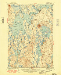
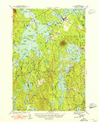
Editions of this 1943 Big Lake Map
4 editions found

Other maps of this area

1929 · Calais
USGS Topo · 1:48,000

1932 · Calais
USGS Topo · 1:62,500

1940 · Waite
USGS Topo · 1:62,500

1940 · Kellyland
USGS Topo · 1:62,500

1941 · Scraggly Lake
USGS Topo · 1:62,500

1941 · Wesley
USGS Topo · 1:62,500

1941 · Gardner Lake
USGS Topo · 1:62,500

1941 · Tug Mountain
USGS Topo · 1:62,500

1941 · Big Lake
USGS Topo · 1:62,500

1941 · Wabassus Lake
USGS Topo · 1:62,500