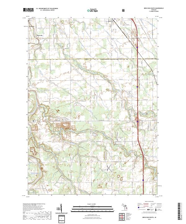
2023 Map of Birch Run South
USGS Topo · Published 2023About this map
The Flint River winds through the northwestern corner of this landscape, marking the transition between Saginaw and Genesee counties. This contemporary survey documents the rural and suburban interface of the region, anchored by the village of Birch Run and the settlements of Taymouth and Morseville. The map serves as a vital record for genealogists, identifying significant burial sites such as the Indian Cem near the northern boundary, Montrose Cem to the west, and West Vienna Cem further south. The land is defined by a complex network of managed waterways including the Hutchinson and Young Drain and Silver Creek Drain, reflecting the area's agricultural engineering and drainage history. Transportation is a dominant theme, ranging from the small Alkay Airport to the dense network of local roads like Dixie Hwy and E Birch Run Rd that connect these longstanding Michigan communities.
Find a feature on this map
79 named features on this map. Tap any name to fly to it.
Don’t see what you’re looking for? This feature index may not catch every label — zoom into the map to look around manually.
Map Details
Editions of this 2023 Birch Run South Map
This is the sole edition of this map. No revisions or reprints were ever made.
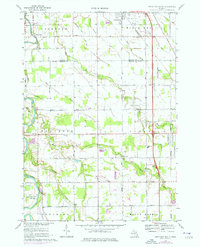
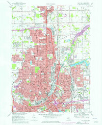
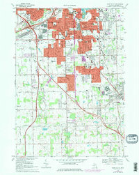
Historical Maps of Mount Morris Charter Township Through Time
6 maps found
Featured Locations
- Montrose Charter Township, MI
- Clio, MI
- Morseville, Taymouth Township
- Taymouth, Taymouth Township
- Birch Run, Birch Run Township