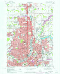
1969 Map of Flint North
USGS Topo · Published 1976About this map
Flint and Mount Morris dominate this urban corridor during a period of significant mid-century expansion. The landscape is defined by its industrial and civic infrastructure, from the sprawling Grand Trunk Western and Chesapeake and Ohio rail networks to the emergence of Interstate 475. The map captures a high density of neighborhood institutions, including Beecher High Sch, Sacred Heart Sch, and Northern High Sch. The eastern edge is shaped by water management and recreation at Genesee County Mott Lake and Kearsley Reservoir. For genealogists, the map provides precise locations for numerous burial grounds like Gracelawn Cemetery, Avondale Cem, and the Assyrian Cem. Landmarks such as Atwood Stadium, the Sloan Museum, and the IMA Auditorium highlight the city's cultural heart at this moment in its history.
Find a feature on this map
134 named features on this map. Tap any name to fly to it.
Don’t see what you’re looking for? This feature index may not catch every label — zoom into the map to look around manually.
Map Details
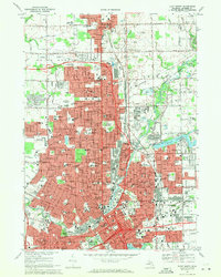
Editions of this 1969 Flint North Map
2 editions found
Other maps of this area

1919 · Burt
USGS Topo · 1:62,500

1920 · Flint
USGS Topo · 1:62,500

1920 · Holly
USGS Topo · 1:62,500

1921 · Burt
USGS Topo · 1:62,500

1922 · Holly
USGS Topo · 1:62,500

1922 · Durand
USGS Topo · 1:62,500

1922 · Flint
USGS Topo · 1:62,500

1943 · Holly
USGS Topo · 1:62,500

1943 · Burt
USGS Topo · 1:62,500

1943 · Durand
USGS Topo · 1:62,500