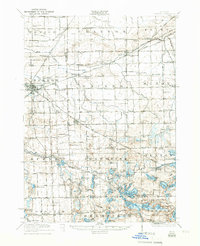
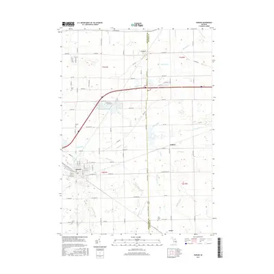
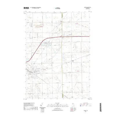
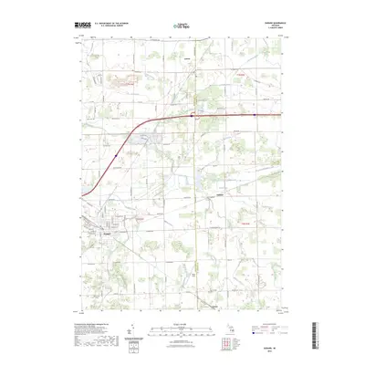
1943 Map of Durand
USGS Topo · Published 1943About this map
The Shiawassee River and the Grand Trunk railroad define the agricultural and transit corridor of south-central Michigan in this 1943 Army Map Service edition. The landscape is dense with one-room schoolhouses such as Venice Center Sch, Crocker Sch, and Pink Sch, reflecting a rural educational network that served small farming communities before consolidation. Notable landmarks like the Crapo Farm near Swartz Creek and the Unity Grange hall highlight the era’s agrarian social structure.
Find a feature on this map
91 named features on this map. Tap any name to fly to it.
Don’t see what you’re looking for? This feature index may not catch every label — zoom into the map to look around manually.
Map Details
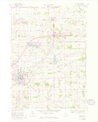
Editions of this 1943 Durand Map
This is the sole edition of this map. No revisions or reprints were ever made.
Historical Maps of Flint Through Time
8 maps found