
1909 Map of Milford
USGS Topo · Published 1909About this map
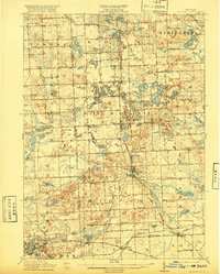
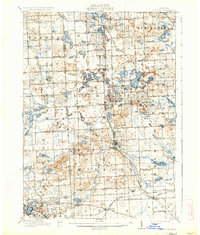
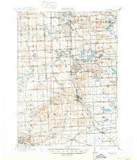
Milford serves as the central hub of this early 20th-century landscape, where the Huron River winds through a terrain deeply marked by glacial kettle lakes and marshlands. The rail-and-river economy is clearly defined by the intersection of the Grand Trunk R R and the Pere Marquette R R, which connect established villages like Clyde and Wixom. The high density of named country schools, such as the Hickory Ridge School, Stone School, and Pioneer School, indicates a well-distributed rural population organized around township lines. In the northern reaches, small communities like Rose Center and Rose PO neighbor a complex network of water bodies, including White Lake and Duck Lake. This era shows the region before modern suburbanization, where travel relied on thoroughfares like the State Road and small stopovers such as Holcomb Corners or Rose Corners.
Find a feature on this map
118 named features on this map. Tap any name to fly to it.
Don’t see what you’re looking for? This feature index may not catch every label — zoom into the map to look around manually.
Map Details
Editions of this 1909 Milford Map
4 editions found
Other maps of this area

1902 · South Lyon
USGS Topo · 1:62,500

1902 · Dexter
USGS Topo · 1:62,500

1904 · Ann Arbor
USGS Topo · 1:125,000

1905 · Wayne
USGS Topo · 1:62,500

1906 · Dexter
USGS Topo · 1:62,500

1906 · South Lyon
USGS Topo · 1:62,500

1907 · Pontiac
USGS Topo · 1:62,500

1907 · Howell
USGS Topo · 1:62,500

1908 · Ann Arbor
USGS Topo · 1:125,000

1909 · Howell
USGS Topo · 1:62,500
Featured Places
- Novi, MI
- Commerce Charter Township, MI
- White Lake Charter Township, MI
- Lyon Charter Township, MI
- Green Oak Charter Township, MI