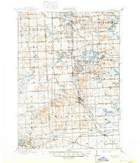
1909 Map of Milford
USGS Topo · Published 1950About this map
The Huron River winds through this post-Edwardian landscape of Oakland and Livingston counties, connecting a dense network of glacial lakes and small agricultural hubs. Centered on the village of Milford, the area shows a transition from traditional farming to a more connected regional economy facilitated by the Pere Marquette and Grand Trunk R R. The rural character of the era is defined by dozens of small neighborhood schoolhouses, such as Hickory Ridge School, Rickett School, and Tuck School, which served the disparate settlements of Rose Center, West Highland, and Clyde.
Find a feature on this map
117 named features on this map. Tap any name to fly to it.
Don’t see what you’re looking for? This feature index may not catch every label — zoom into the map to look around manually.
Map Details
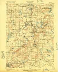
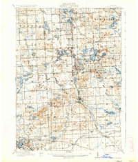
Editions of this 1909 Milford Map
4 editions found

Other maps of this area

1902 · South Lyon
USGS Topo · 1:62,500

1902 · Dexter
USGS Topo · 1:62,500

1904 · Ann Arbor
USGS Topo · 1:125,000

1905 · Wayne
USGS Topo · 1:62,500

1906 · Dexter
USGS Topo · 1:62,500

1906 · South Lyon
USGS Topo · 1:62,500

1907 · Pontiac
USGS Topo · 1:62,500

1907 · Howell
USGS Topo · 1:62,500

1908 · Ann Arbor
USGS Topo · 1:125,000

1909 · Howell
USGS Topo · 1:62,500
Featured Places
- Novi, MI
- Commerce Charter Township, MI
- White Lake Charter Township, MI
- Lyon Charter Township, MI
- Green Oak Charter Township, MI