
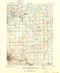
1902 Map of South Lyon
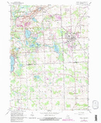
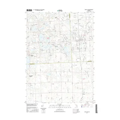
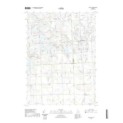
USGS Topo · Published 1954About this map
South Lyon serves as a primary rail hub at the turn of the century, where the Pere Marquette and Grand Trunk lines intersect. The landscape is defined by the glacial kettle lakes of the north, such as Sandy Bottom Lake and Inchwagh Lake, and the winding Huron River to the south. The mapping captures early industrial and transit footprints, from the Michigan Central RR passing through Geddes to the Ann Arbor and Ypsilanti Electric RR. Significant for genealogists, the survey identifies several small rural clusters and post offices that have since evolved, including Dixboro, Cherryhill, and Worden. In the southwest corner, the growing street grid of Ann Arbor is clearly visible alongside the river, while the eastern boundary shows the headwaters of the Lower Rouge River branching into Wayne County.
Find a feature on this map
55 named features on this map. Tap any name to fly to it.
Don’t see what you’re looking for? This feature index may not catch every label — zoom into the map to look around manually.
Map Details
Editions of this 1902 South Lyon Map
This is the sole edition of this map. No revisions or reprints were ever made.
Historical Maps of Ann Arbor Through Time
8 maps found
Featured Locations
- Novi, MI
- Canton Township, MI
- Pittsfield Charter Township, MI
- Ann Arbor, MI
- Ypsilanti Charter Township, MI