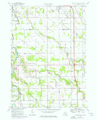
1969 Map of Birch Run South
USGS Topo · Published 1976About this map
The Flint River meanders through the northwest corner of this Michigan landscape, anchoring a rural territory where the borders of Taymouth, Birch Run, and Montrose townships meet. The village of Morseville sits near the river bend, surrounded by a network of drainage systems like Bogart Drain and Silver Creek that support the local agricultural economy. This mid-century view shows the intersection of traditional land use and modern infrastructure, where the Chesapeake and Ohio railroad cuts a diagonal line toward the industrial hubs of the south.
Find a feature on this map
63 named features on this map. Tap any name to fly to it.
Don’t see what you’re looking for? This feature index may not catch every label — zoom into the map to look around manually.
Map Details
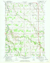
Editions of this 1969 Birch Run South Map
2 editions found
Other maps of this area

1919 · Saginaw
USGS Topo · 1:62,500

1919 · Burt
USGS Topo · 1:62,500

1920 · Flint
USGS Topo · 1:62,500

1921 · Burt
USGS Topo · 1:62,500

1922 · Flint
USGS Topo · 1:62,500

1941 · Saginaw
USGS Topo · 1:62,500

1943 · Burt
USGS Topo · 1:62,500

1943 · Saginaw
USGS Topo · 1:62,500

1943 · Flint
USGS Topo · 1:62,500

1954 · Flint
USGS Topo · 1:250,000