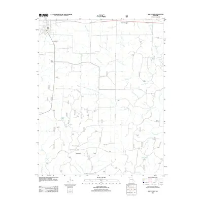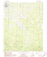
1982 Map of Birch Tree
USGS Topo · Published 1982About this map
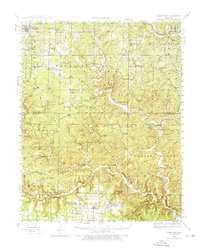
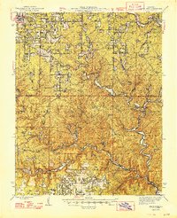
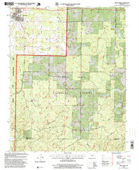
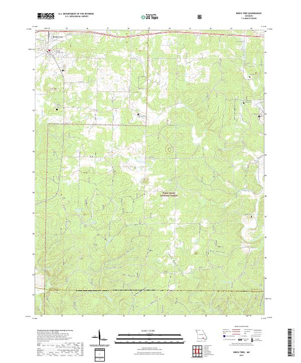
Birch Tree serves as the primary settlement in this corner of the Ozarks during the early 1980s, situated just north of the Shannon and Oregon County line. The landscape is defined by the deep incisions of Hurricane Creek and its various forks, such as the South Fork, which carve through the dense timberlands of the Mark Twain National Forest. This survey captures a network of rural life tied to the terrain, from the isolated Ranch and Cave Spring settlements to the industrial traces of a Mine located south of Fisher Pond.
Find a feature on this map
29 named features on this map. Tap any name to fly to it.
Don’t see what you’re looking for? This feature index may not catch every label — zoom into the map to look around manually.
Map Details
Editions of this 1982 Birch Tree Map
This is the sole edition of this map. No revisions or reprints were ever made.
Historical Maps of Birch Tree Through Time
8 maps found