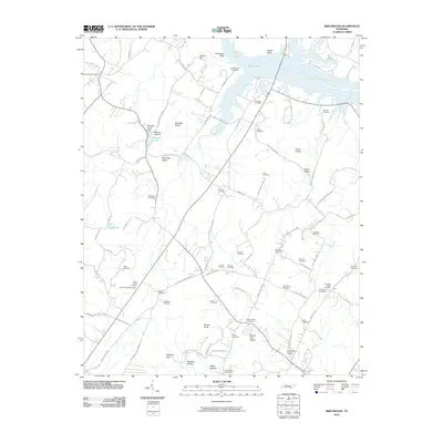
2010 Map of Birchwood
USGS Topo · Published 2010About this map
Judd Slough and a series of bluffs including Goodman Bluff and Jewell Bluff define the northern water interface of this Tennessee landscape. The interior is a dense network of family-named cemeteries and landmarks, reflecting generations of local history. Notable sites such as Saint Elmo Cemetery, Smith Chapel Cemetery, and the Birchwood Post Office serve as central points for the surrounding rural community.
Find a feature on this map
88 named features on this map. Tap any name to fly to it.
Don’t see what you’re looking for? This feature index may not catch every label — zoom into the map to look around manually.
Map Details
Editions of this 2010 Birchwood Map
This is the sole edition of this map. No revisions or reprints were ever made.
Other maps of this area

1886 · Cleveland
USGS Topo · 1:125,000

1888 · Chattanooga
USGS Topo · 1:125,000

1892 · Cleveland
USGS Topo · 1:125,000

1893 · Chattanooga
USGS Topo · 1:125,000

1895 · Cleveland
USGS Topo · 1:125,000

1901 · Cleveland
USGS Topo · 1:125,000

1935 · East Cleveland
USGS Topo · 1:24,000

1935 · Goodfield
USGS Topo · 1:24,000

1935 · Snow Hill
USGS Topo · 1:24,000

1935 · Charleston
USGS Topo · 1:24,000