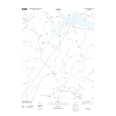
2013 Map of Birchwood
USGS Topo · Published 2013About this map
Brittsville and Georgetown anchor this 2013 survey of the Tennessee river valley, where complex topography and water features define the local geography. The landscape is marked by prominent ridges and knobs, including Mount Zion Ridge, the Texas Knobs, and Barger Knob, while the Hiwassee River’s influence is visible through secondary channels like Judd Slough and Fuller Slough.
Find a feature on this map
123 named features on this map. Tap any name to fly to it.
Don’t see what you’re looking for? This feature index may not catch every label — zoom into the map to look around manually.
Map Details
Editions of this 2013 Birchwood Map
This is the sole edition of this map. No revisions or reprints were ever made.
Other maps of this area

1886 · Cleveland
USGS Topo · 1:125,000

1888 · Chattanooga
USGS Topo · 1:125,000

1892 · Cleveland
USGS Topo · 1:125,000

1893 · Chattanooga
USGS Topo · 1:125,000

1895 · Cleveland
USGS Topo · 1:125,000

1901 · Cleveland
USGS Topo · 1:125,000

1935 · East Cleveland
USGS Topo · 1:24,000

1935 · Goodfield
USGS Topo · 1:24,000

1935 · Snow Hill
USGS Topo · 1:24,000

1935 · Charleston
USGS Topo · 1:24,000