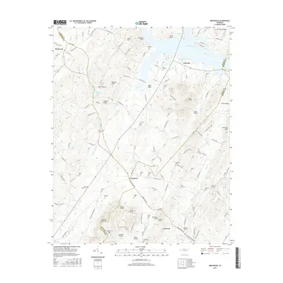
2016 Map of Birchwood
USGS Topo · Published 2016About this map
Hiwassee River defines the northern boundary of this landscape, where its waters are divided by Hooper Slough, Judd Slough, and Fuller Slough. The terrain transitions from the low-lying bluffs of Goodman Bluff and Jewell Bluff into the undulating ridges of White Oak Mountain and the distinct No Pone Valley. This 2016 survey documents the rural character of southeastern Tennessee, centered near the crossroads of Georgetown and the settlements of Birchwood and Brittsville.
Find a feature on this map
139 named features on this map. Tap any name to fly to it.
Don’t see what you’re looking for? This feature index may not catch every label — zoom into the map to look around manually.
Map Details
Editions of this 2016 Birchwood Map
This is the sole edition of this map. No revisions or reprints were ever made.
Other maps of this area

1886 · Cleveland
USGS Topo · 1:125,000

1888 · Chattanooga
USGS Topo · 1:125,000

1892 · Cleveland
USGS Topo · 1:125,000

1893 · Chattanooga
USGS Topo · 1:125,000

1895 · Cleveland
USGS Topo · 1:125,000

1901 · Cleveland
USGS Topo · 1:125,000

1935 · East Cleveland
USGS Topo · 1:24,000

1935 · Goodfield
USGS Topo · 1:24,000

1935 · Snow Hill
USGS Topo · 1:24,000

1935 · Charleston
USGS Topo · 1:24,000