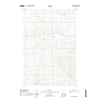
2020 Map of Black John Coulee
USGS Topo · Published 2020About this map
Black John Coulee and several other deeply carved drainages define this Garfield County landscape, illustrating a complex hydraulic network in Montana's eastern plains. The map details the drainage patterns of Big Dry Cr and its tributaries, including Nelson Coulee and Russian Coulee, which flow through the arid terrain. The southern portion of the sheet is dominated by the winding course of Langs Fork, which carves through the township boundaries of T18N and T17N. This 2020 survey captures the region's topographical character, showing how seasonal water flow has shaped the coulees and creek beds across this sparsely populated section of the state. It provides a clear view of the relationship between the elevated plateaus and the low-lying Jones Cr basin, essential for understanding the local hydrology and land divisions in this part of the Missouri River watershed.
Find a feature on this map
14 named features on this map. Tap any name to fly to it.
Don’t see what you’re looking for? This feature index may not catch every label — zoom into the map to look around manually.
Map Details
Editions of this 2020 Black John Coulee Map
This is the sole edition of this map. No revisions or reprints were ever made.
Other maps of this area

1954 · Jordan
USGS Topo · 1:250,000

1956 · Jordan
USGS Topo · 1:250,000

1958 · Jordan
USGS Topo · 1:250,000

1964 · Jordan
USGS Topo · 1:250,000

1964 · Jordan SE
USGS Topo · 1:24,000

1964 · Jordan NE
USGS Topo · 1:24,000

1964 · Ada Creek
USGS Topo · 1:24,000

1964 · Bateman Coulee
USGS Topo · 1:24,000

1964 · Black John Coulee
USGS Topo · 1:24,000

1964 · Bateman Coulee NE
USGS Topo · 1:24,000