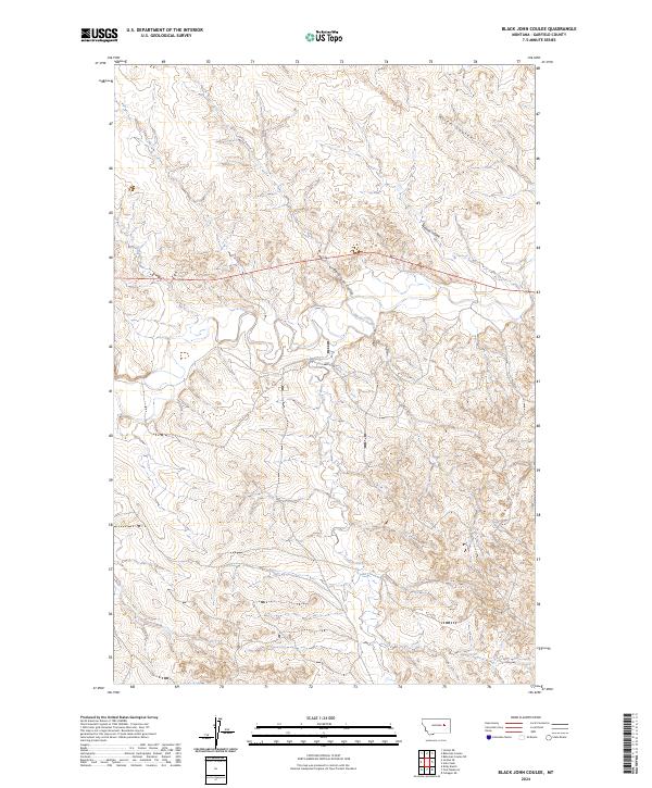
2024 Map of Black John Coulee
USGS Topo · Published 2024About this map
Big Dry Creek winds through this expanse of Garfield County, defining a landscape shaped by the intricate drainage systems of eastern Montana. This 2024 survey captures a terrain dominated by deep coulees and seasonal forks, reflecting the ranching and agricultural rhythms of the High Plains. The namesake Black John Coulee cuts across the northern half of the map, joining other watercourses like Nelson Coulee and Allen Coulee that feed into the larger riparian network. Farther south, the meandering path of Langs Fork and the presence of John Coulee highlight the characteristic erosion patterns of the Missouri River basin. The map illustrates the sparsely populated nature of the region, where land management and natural geography are the primary features of the cadastral grid.
Find a feature on this map
12 named features on this map. Tap any name to fly to it.
Don’t see what you’re looking for? This feature index may not catch every label — zoom into the map to look around manually.
Map Details
Editions of this 2024 Black John Coulee Map
This is the sole edition of this map. No revisions or reprints were ever made.
Other maps of this area

1954 · Jordan
USGS Topo · 1:250,000

1956 · Jordan
USGS Topo · 1:250,000

1958 · Jordan
USGS Topo · 1:250,000

1964 · Jordan
USGS Topo · 1:250,000

1964 · Jordan SE
USGS Topo · 1:24,000

1964 · Jordan NE
USGS Topo · 1:24,000

1964 · Ada Creek
USGS Topo · 1:24,000

1964 · Bateman Coulee
USGS Topo · 1:24,000

1964 · Black John Coulee
USGS Topo · 1:24,000

1964 · Bateman Coulee NE
USGS Topo · 1:24,000