
1948 Map of Black Top Mountain
USGS Topo · Published 1955About this map
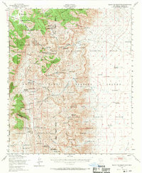
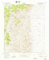
The Hardscrabble Mountains and the arid expanse of the White Sands Proving Ground dominate this mid-century landscape in the high desert. Settlement is defined by isolated ranching outposts and strategic military zones, including the Alamogordo Bombing Range and the Ordnance Institute of Technology. Significant family-held landmarks such as the Miller Ranch Headquarters, Potter Ranch Headquarters, and Hardin Ranch indicate a life tied to the region's scarce water sources like Bearden Spring and White Spring. The topography transitions from the eastern Alkali Flat to the prominent peaks of Strawberry Peak and Black Top Mountain. Economic activity is represented by the Black Bear Mine and several wells including Fleming Well and Murray Well, showing the reliance on subsurface resources in this high-altitude terrain.
Find a feature on this map
95 named features on this map. Tap any name to fly to it.
Don’t see what you’re looking for? This feature index may not catch every label — zoom into the map to look around manually.
Map Details
Editions of this 1948 Black Top Mountain Map
3 editions found
Other maps of this area

1916 · Tonuco
USGS Topo · 1:125,000

1916 · Salinas Peak
USGS Topo · 1:125,000

1916 · Tularosa
USGS Topo · 1:125,000

1916 · Point Of Sands
USGS Topo · 1:125,000

1932 · Tonuco
USGS Topo · 1:125,000

1947 · Point Of Sands 2
USGS Topo · 1:62,500

1947 · Capitol Peak
USGS Topo · 1:62,500

1948 · Sowell
USGS Topo · 1:62,500

1948 · Chicken Well
USGS Topo · 1:62,500

1948 · Malpais Well
USGS Topo · 1:62,500