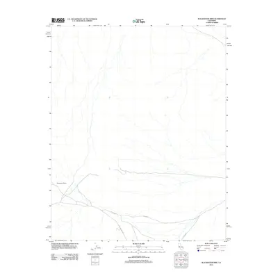
2012 Map of Blackwater Mine
USGS Topo · Published 2012About this map
Blackwater Mine is the focal point of this arid terrain in San Bernardino County, situated within a sparse landscape defined by deep-set desert washes and service roads. The 2012 topography shows a high concentration of ephemeral drainage patterns flowing from the north toward the southern corridor, where local transportation routes converge. Major thoroughfares through this desert environment include Excelsior Mine Rd, which intersects with arterial paths like Co Hwy-20918 and Co Rd-20918. The map documents the spatial relationship between the historic mining operation and the modern road network, reflecting the continued navigational importance of these routes in a region where industrial heritage and desert hydrology dominate the land use patterns.
Find a feature on this map
4 named features on this map. Tap any name to fly to it.
Don’t see what you’re looking for? This feature index may not catch every label — zoom into the map to look around manually.
Map Details
Editions of this 2012 Blackwater Mine Map
This is the sole edition of this map. No revisions or reprints were ever made.
Other maps of this area

1910 · Ivanpah
USGS Topo · 1:250,000

1912 · Ivanpah
USGS Topo · 1:250,000

1942 · Ivanpah
USGS Topo · 1:250,000

1947 · Kingman
USGS Topo · 1:250,000

1948 · Kingman
USGS Topo · 1:250,000

1954 · Kingman
USGS Topo · 1:250,000

1955 · Kingman
USGS Topo · 1:250,000

1955 · Kingston Peak
USGS Topo · 1:62,500

1956 · Clark Mountain
USGS Topo · 1:62,500

1956 · Shenandoah Peak
USGS Topo · 1:62,500