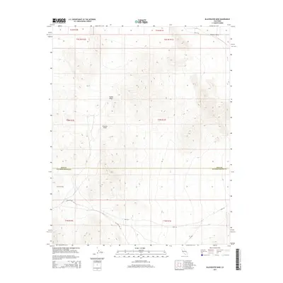
2015 Map of Blackwater Mine
USGS Topo · Published 2015About this map
The Kingston Range dominates this portion of the Mojave Desert, serving as a topographical landmark along the high-desert border. Located at the intersection of Inyo and San Bernardino counties, the area is defined by its arid basins and significant elevation changes, particularly where the mountains slope toward the Mesquite Valley in the northeast. This 2015 survey details a landscape primarily accessed by a network of unimproved desert tracks. Significant routes through the dry terrain include Excelsior Mine Rd, Hurmi Rd, and the remote Two Hk Rd. The map provides a clear record of the modern township and range grid as it overlays this protected wilderness and public land, documenting the persistent isolation of this corner of California.
Find a feature on this map
16 named features on this map. Tap any name to fly to it.
Don’t see what you’re looking for? This feature index may not catch every label — zoom into the map to look around manually.
Map Details
Editions of this 2015 Blackwater Mine Map
This is the sole edition of this map. No revisions or reprints were ever made.
Other maps of this area

1910 · Ivanpah
USGS Topo · 1:250,000

1912 · Ivanpah
USGS Topo · 1:250,000

1942 · Ivanpah
USGS Topo · 1:250,000

1947 · Kingman
USGS Topo · 1:250,000

1948 · Kingman
USGS Topo · 1:250,000

1954 · Kingman
USGS Topo · 1:250,000

1955 · Kingman
USGS Topo · 1:250,000

1955 · Kingston Peak
USGS Topo · 1:62,500

1956 · Clark Mountain
USGS Topo · 1:62,500

1956 · Shenandoah Peak
USGS Topo · 1:62,500