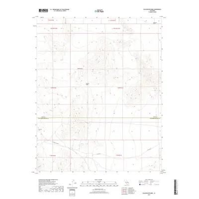
2018 Map of Blackwater Mine
USGS Topo · Published 2018About this map
The Kingston Range dominates this corner of the Mojave Desert, marking the high-altitude divide between San Bernardino and Inyo counties. In the southern portion of the quadrangle, the industrial character of the landscape is defined by the Blackwater Mine and the rugged access provided by Excelsior Mine Rd. These routes and features reflect the long-standing mineral extraction history of the eastern California desert. To the northeast, the terrain descends toward the Mesquite Valley, where the steep contours of the range give way to broader desert flats. This survey by the U.S. Geological Survey provides a precise view of the topography and land management boundaries, including numerous township and range divisions that structured the settlement and development of this arid region.
Find a feature on this map
15 named features on this map. Tap any name to fly to it.
Don’t see what you’re looking for? This feature index may not catch every label — zoom into the map to look around manually.
Map Details
Editions of this 2018 Blackwater Mine Map
This is the sole edition of this map. No revisions or reprints were ever made.
Other maps of this area

1910 · Ivanpah
USGS Topo · 1:250,000

1912 · Ivanpah
USGS Topo · 1:250,000

1942 · Ivanpah
USGS Topo · 1:250,000

1947 · Kingman
USGS Topo · 1:250,000

1948 · Kingman
USGS Topo · 1:250,000

1954 · Kingman
USGS Topo · 1:250,000

1955 · Kingman
USGS Topo · 1:250,000

1955 · Kingston Peak
USGS Topo · 1:62,500

1956 · Clark Mountain
USGS Topo · 1:62,500

1956 · Shenandoah Peak
USGS Topo · 1:62,500