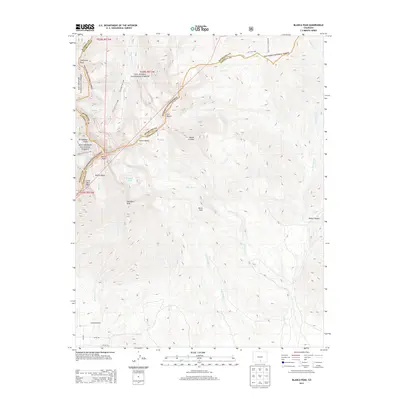
2013 Map of Blanca Peak
USGS Topo · Published 2013About this map
Blanca Peak and the surrounding high-altitude terrain define this 2013 survey of the Sangre de Cristo Mountains, where the borders of Alamosa, Huerfano, and Costilla counties converge. The landscape is dominated by notable summits including Sierra Blanca, California Peak, and Mount Lindsey, which divide the drainages of the Huerfano River to the north from the extensive canyon systems of Ute Cr and Little Ute Cr to the east and south. This topographic study documents a high-country network of primitive access points, such as the Ute Trail 1306 and Blanca Peak Trail 886, providing a detailed record of alpine geography within the San Isabel National Forest and Rio Grande National Forest. Toward the southern valley floor, the transition to ranching land is marked by Arrowhead Ranch and the beginning of the local road grid near Co RD-142.
Find a feature on this map
41 named features on this map. Tap any name to fly to it.
Don’t see what you’re looking for? This feature index may not catch every label — zoom into the map to look around manually.
Map Details
Editions of this 2013 Blanca Peak Map
This is the sole edition of this map. No revisions or reprints were ever made.
Other maps of this area

1889 · Huerfano Park
USGS Topo · 1:125,000

1892 · Huerfano Park
USGS Topo · 1:125,000

1954 · Trinidad
USGS Topo · 1:250,000

1955 · Trinidad
USGS Topo · 1:250,000

1958 · Trinidad
USGS Topo · 1:250,000

1959 · Trinidad
USGS Topo · 1:250,000

1965 · Blanca
USGS Topo · 1:24,000

1965 · Zapata Ranch
USGS Topo · 1:24,000

1965 · Twin Peaks
USGS Topo · 1:24,000

1967 · Mosca Pass
USGS Topo · 1:24,000