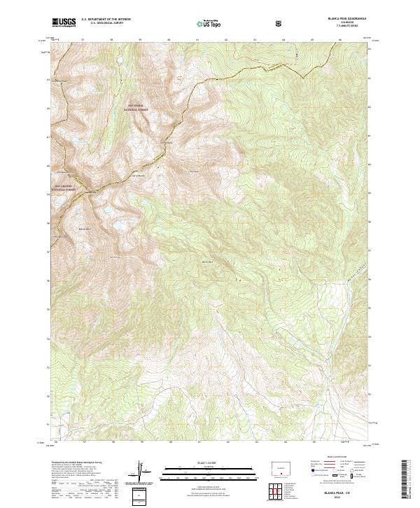
2022 Map of Blanca Peak
USGS Topo · Published 2022About this map
Blanca Peak and the surrounding summits of the Sangre de Cristo Mountains dominate this 2022 topographical study of the Colorado high country. The landscape is defined by its sheer elevation and complex drainage networks, where the Huerfano River begins its descent near the borders of the San Isabel National Forest and Rio Grande National Forest. High-altitude water bodies such as Winchell Lakes, Crater Lake, and Lily Lake are carved into the basins below towering peaks like Mt Lindsey and Ellingwood Point. In the lower elevations, the Sangre de Cristo Conservation Area spans the drainage of Cottonwood Cr and Ikes Cr. This map documents a modern view of the convergence of Huerfano, Costilla, and Alamosa counties, showing the enduring paths of the Ute Trl and Strawberry Trl through the alpine terrain.
Find a feature on this map
39 named features on this map. Tap any name to fly to it.
Don’t see what you’re looking for? This feature index may not catch every label — zoom into the map to look around manually.
Map Details
Editions of this 2022 Blanca Peak Map
This is the sole edition of this map. No revisions or reprints were ever made.
Other maps of this area

1889 · Huerfano Park
USGS Topo · 1:125,000

1892 · Huerfano Park
USGS Topo · 1:125,000

1954 · Trinidad
USGS Topo · 1:250,000

1955 · Trinidad
USGS Topo · 1:250,000

1958 · Trinidad
USGS Topo · 1:250,000

1959 · Trinidad
USGS Topo · 1:250,000

1965 · Blanca
USGS Topo · 1:24,000

1965 · Zapata Ranch
USGS Topo · 1:24,000

1965 · Twin Peaks
USGS Topo · 1:24,000

1967 · Mosca Pass
USGS Topo · 1:24,000